   SPC AC 030701

   Day 3 Convective Outlook
   NWS Storm Prediction Center Norman OK
   0101 AM CST Tue Jan 03 2017

   Valid 051200Z - 061200Z

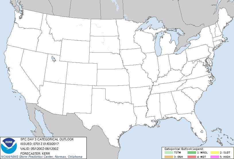
   ...NO THUNDERSTORM AREAS FORECAST...

   ...SUMMARY...
   Thunderstorm probabilities currently appear negligible across the
   U.S., Thursday through Thursday night.

   ...Synopsis...
   Downstream of persistent blocking to the west of the North American
   Pacific coast, split branches of westerlies appear likely to
   continue to converge into broadly cyclonic flow east of the Rockies
   through the Atlantic Seaboard.  Beneath this regime, cold surface
   ridging is expected to become increasingly prominent over the
   interior U.S. during this period, including one significant surge of
   cold air to the lee of the southern Rockies, through the Rio Grande
   Valley, northwest Gulf Coast and lower Mississippi Valley by 12Z
   Friday.  This should contribute to the maintenance of generally
   stable conditions with little, if any, risk for thunderstorm
   activity.

   ..Kerr.. 01/03/2017

   CLICK TO GET WUUS03 PTSDY3 PRODUCT

   NOTE: THE NEXT DAY 3 OUTLOOK IS SCHEDULED BY 0830Z
|

