SPC AC 040800
Day 3 Convective Outlook
NWS Storm Prediction Center Norman OK
0200 AM CST Wed Jan 04 2017
Valid 061200Z - 071200Z
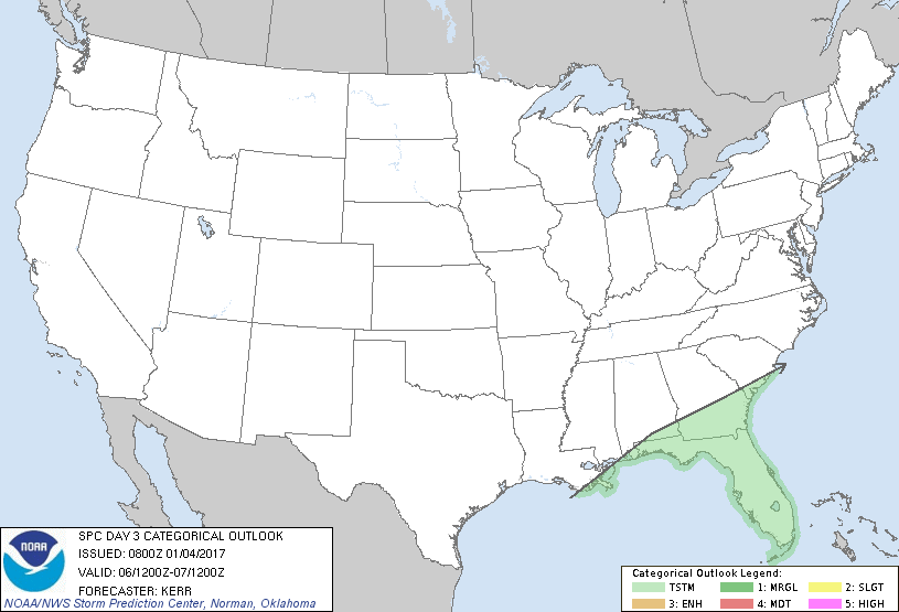
...NO SEVERE THUNDERSTORM AREAS FORECAST...
...SUMMARY...
Thunderstorms may impact parts of Florida and adjacent portions of
the Southeast Friday night. At the present time, the risk of severe
weather appears negligible.
...Synopsis...
Little change to the general large-scale mid/upper flow pattern is
expected through this period, with blocking remaining prominent west
of the North American Pacific coast, and split belts of westerlies
converging downstream into broad troughing east of the Rockies
through the Atlantic Seaboard. However, models do indicate at least
some increased phasing of a couple of belts westerlies, with
amplification of large-scale ridging inland the Pacific coast.
Coinciding with this development, some modification of cold surface
ridging is possible across parts of the northern intermountain
region and Great Basin Friday into Friday night. This will be
slower to commence to the east of the Rockies, with the leading edge
of the deeper cold air forecast to continue advancing southward
through the lower Rio Grande Valley, northwestern Gulf of Mexico and
southern Atlantic Seaboard.
Along the front, models do indicate that a short wave impulse
digging within the cyclonic flow may support a developing wave
across the northeast Gulf of Mexico and adjacent portions of the
Southeast into the western Atlantic. This may be accompanied by
considerable low/mid-level moistening and weak destabilization
supportive of scattered thunderstorms, with activity spreading off
the eastern Gulf into portions of the Florida Peninsula Friday
night. Additional thunderstorms could form along the front zone,
mainly above the surface frontal inversion, across parts of northern
Florida and perhaps adjacent southern portions of the eastern
Gulf/south Atlantic Coast states.
...Southeast...
At the present time, guidance is suggestive that any appreciable
inland boundary layer destabilization may remain confined to the
southern interior and southern into central coastal areas of the
Florida Peninsula late Friday into Friday night, south of the
stronger deep layer wind fields and shear, particularly in
lower-levels. Coupled with lingering predictability issues evident
in the model output, the risk for severe storms still appears
negligible.
..Kerr.. 01/04/2017
CLICK TO GET WUUS03 PTSDY3 PRODUCT
NOTE: THE NEXT DAY 3 OUTLOOK IS SCHEDULED BY 0830Z
|