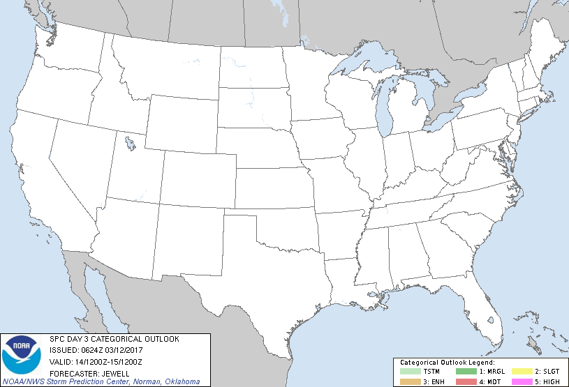
   SPC AC 120624

   Day 3 Convective Outlook
   NWS Storm Prediction Center Norman OK
   1224 AM CST Sun Mar 12 2017

   Valid 141200Z - 151200Z

   ...NO THUNDERSTORM AREAS FORECAST...

   ...SUMMARY...
   Thunderstorms are unlikely across the lower 48 on Tuesday.

   ...Synopsis...
   A large and deepening upper low will develop across the Great Lakes
   and into the Northeast with surface low developing northward across
   parts of New England. This will drive a cold front across the Gulf
   of Mexico and across the western Atlantic, shunting low-level
   moisture and instability well offshore. Strong lift with the
   northeastern system could possibly result in a rogue lightning
   strike or two with little instability, but coverage does not warrant
   a 10% thunder line at this time.

   Elsewhere, an upper ridge will exist across much of the West, with
   an upper trough gradually approaching the WA/OR coasts. With the
   main low well offshore, instability is not expected to support any
   thunderstorms.

   ..Jewell.. 03/12/2017

   CLICK TO GET WUUS03 PTSDY3 PRODUCT

   NOTE: THE NEXT DAY 3 OUTLOOK IS SCHEDULED BY 0730Z
|

