SPC AC 240647
Day 3 Convective Outlook
NWS Storm Prediction Center Norman OK
0147 AM CDT Sun Sep 24 2017
Valid 261200Z - 271200Z
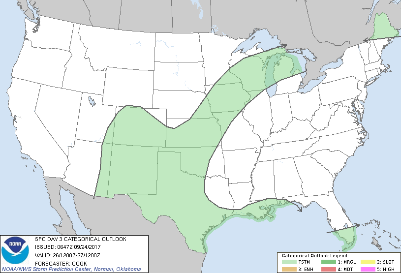
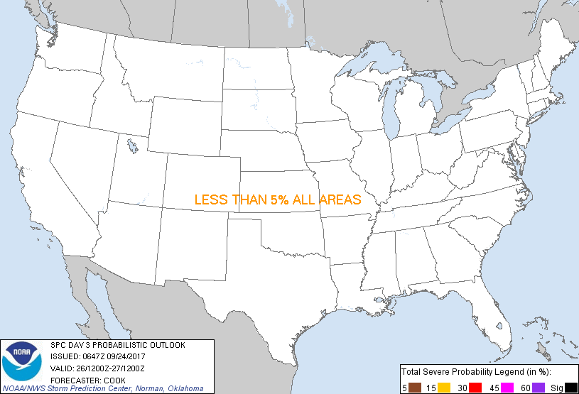
...NO SEVERE THUNDERSTORM AREAS FORECAST...
...SUMMARY...
The severe threat across most of the country should remain very
sparse Wednesday.
...Synopsis...
A persistent longwave trough across the western states will finally
break down as a substantial, yet shorter-length mid-level trough
migrates east toward the Upper Mississippi Valley. Farther
southwest, models suggest that the remnant portion of the trough
over the western Great Basin will evolve into a closed low. Height
rises will be noted downstream of this closed low across the
southern Plains as a ridge strengthens some over the Lower
Mississippi River Valley - and modest strengthening of mid-level
flow should occur across western New Mexico and vicinity.
At the surface, a cold front will continue to migrate southward
across the southern Plains and extend from near the Big Bend of
Texas northeastward to central Missouri and on to another weak low
located near the Upper Peninsula of Michigan early Wednesday
evening. A modified maritime airmass will remain in place ahead of
the front and foster isolated to scattered convective development
throughout the day, with peak coverage occurring during the
afternoon and early evening. Overall, the lack of strong deep shear
and marginal mid-level lapse rates will keep any severe risk to a
minimum - although areas of New Mexico may experience a low risk of
hail and gusty winds Wednesday afternoon.
...Southern into western New Mexico...
Easterly low-level trajectories will advect moisture into the higher
terrain of the southern Rockies, fostering the development of a few
storms in that area during the afternoon hours. These storms may be
enhanced by the presence of the mid-level cut-off low just west of
the area, and ~7 deg C/km mid-level lapse rates may combine with
just enough deep shear to provide a risk of hail and gusty winds.
Marginal (5%) severe probabilities may be needed in later outlooks
if models remain consistent in depicting this low hail/wind risk -
which may end up being closely tied to the evolution of the closed
mid-level low over the Southwest.
..Cook.. 09/24/2017
CLICK TO GET WUUS03 PTSDY3 PRODUCT
NOTE: THE NEXT DAY 3 OUTLOOK IS SCHEDULED BY 0730Z
|