SPC AC 270704
Day 3 Convective Outlook
NWS Storm Prediction Center Norman OK
0204 AM CDT Wed Sep 27 2017
Valid 291200Z - 301200Z
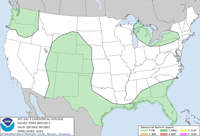
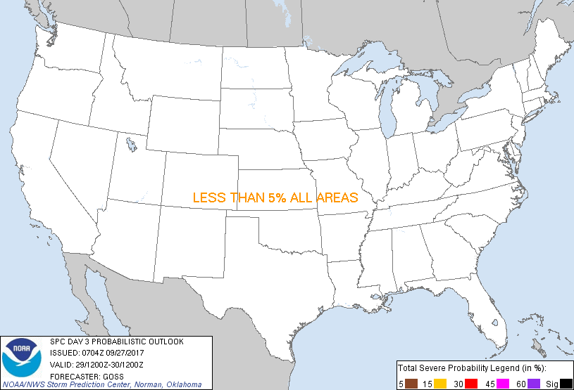
...NO SEVERE THUNDERSTORM AREAS FORECAST...
...SUMMARY...
Severe weather is not expected across the U.S. Thursday.
...Synopsis...
Confined to the northern half of the U.S. and Canada, a progressive
northern-stream upper flow field is expected Day 3, with a trough in
the east, a ridge over the Prairies and north-central U.S., and a
second trough moving into the west. Farther south across the U.S.,
a weakening trough over the Intermountain West will continue
drifting slowly northward, with flat ridging persisting over
south-central portions of the country.
At the surface, high pressure will prevail over much of the country,
though a cold front is forecast to move into/across the northwest
portions of the U.S. ahead of the aforementioned western North
America upper trough.
Showers and possibly occasional/embedded lightning will be possible
over the Pacific Northwest vicinity in conjunction with the
advancing storm system. Showers and a few storms will also be
possible over portions of the Rockies and adjacent High Plains, and
also from Texas eastward to the southeast near/north of the
old/remnant surface front. Finally, showers and a few lightning
strikes may occur over the Great Lakes vicinity as troughing aloft
crosses this region. In all locales, severe weather is not
expected.
..Goss.. 09/27/2017
CLICK TO GET WUUS03 PTSDY3 PRODUCT
NOTE: THE NEXT DAY 3 OUTLOOK IS SCHEDULED BY 0730Z
|