SPC AC 210706
Day 3 Convective Outlook
NWS Storm Prediction Center Norman OK
0206 AM CDT Sat Oct 21 2017
Valid 231200Z - 241200Z
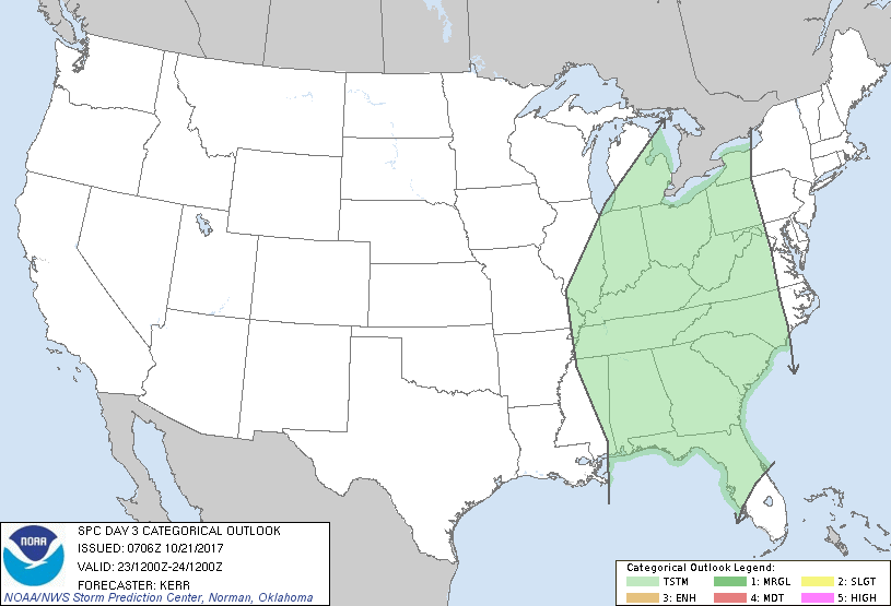
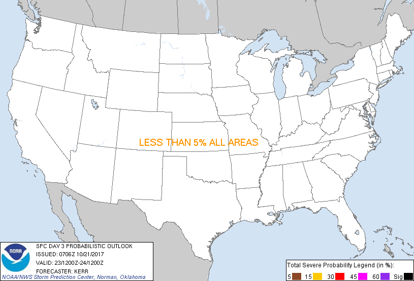
...NO SEVERE THUNDERSTORM AREAS FORECAST...
...SUMMARY...
At this time, the risk for severe storms appears negligible across
the U.S., Monday through Monday night.
...Synopsis...
Further amplification of the large-scale pattern across the Pacific
into western North America appears possible during this period, and
models continue to suggest that this amplification will begin to
translate eastward. Downstream of broad, strong ridging centered
near the Pacific coast, a significant short wave trough is forecast
to continue digging southeast of the upper Mississippi Valley,
accompanied by sharpening cyclonic flow from the Plains into the
Appalachians/lower Great Lakes region. When and just how this
feature consolidates with another perturbation initially near or
east of the lower Mississippi Valley remain unclear. Rather large
spread remains evident among the various models and within their
respective ensemble output concerning this flow evolution and
associated low-level developments across and east of the Mississippi
Valley.
The ECMWF/ECENS remain among the most aggressive indicating
potential for strong surface cyclogenesis, though mainly Monday
night across the lower Great Lakes region, when boundary layer
instability across nearby portions of the upper Ohio Valley and the
Appalachians remain in doubt. Considerable strengthening of
lower/mid tropospheric wind fields appears possible in association
with the southern impulse, across the eastern Gulf States and
southern into central Appalachians, as early as Monday afternoon.
However, it appears that widespread cloud cover and rain developing
ahead of the impulse could contribute to inhibited boundary layer
destabilization, and minimize convective potential.
..Kerr.. 10/21/2017
CLICK TO GET WUUS03 PTSDY3 PRODUCT
NOTE: THE NEXT DAY 3 OUTLOOK IS SCHEDULED BY 0730Z
|