SPC AC 100817
Day 3 Convective Outlook
NWS Storm Prediction Center Norman OK
0217 AM CST Fri Nov 10 2017
Valid 121200Z - 131200Z
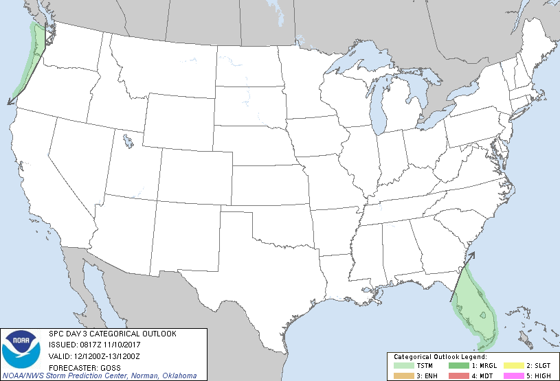
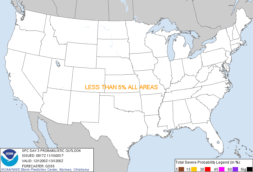
...NO SEVERE THUNDERSTORM AREAS FORECAST...
...SUMMARY...
No severe weather is expected across the U.S. Sunday.
...Synopsis...
A slowly progressive flow pattern aloft is forecast across the U.S.
Sunday/Day 3, as a central U.S. trough shifts across the eastern
half of the country and a second trough/low over the northeast
Pacific gradually nears the Pacific Northwest Coast.
At the surface, high pressure will remain largely in control, though
a cold front is expected to move onshore over the Pacific Northwest
during the second half of the period.
Showers -- and occasional/embedded lightning later in the period --
can be expected over parts of the northwestern U.S. as this front,
and associated upper system, near the coast. Showers and a couple
of thunderstorms may also affect Florida, as onshore/easterly flow
continues. In both areas, severe weather is not expected.
..Goss.. 11/10/2017
CLICK TO GET WUUS03 PTSDY3 PRODUCT
NOTE: THE NEXT DAY 3 OUTLOOK IS SCHEDULED BY 0830Z
|