   SPC AC 250704

   Day 3 Convective Outlook
   NWS Storm Prediction Center Norman OK
   0104 AM CST Sat Nov 25 2017

   Valid 271200Z - 281200Z

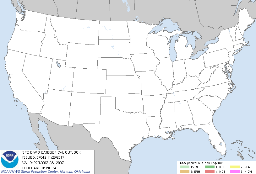
   ...NO THUNDERSTORM AREAS FORECAST...

   ...SUMMARY...
   The potential for thunderstorms appears low across the contiguous
   United States Monday into Monday night.

   ...Synopsis/Discussion...
   A rather amplified mid/upper trough will advance from the Pacific
   Coast eastward to the Rockies Monday. Meanwhile, a downstream ridge
   will extend from Texas northeastward to the Great Lakes. On the
   eastern periphery of this ridge, an impulse will progress from the
   lower Mississippi Valley southward to the central Gulf, and
   subsidence in its wake will maintain a surface ridge from the
   Mississippi Valley to the East Coast. In turn, only a narrow sliver
   of modest boundary-layer moisture will exist over the southern
   Plains (on the western edge of the surface ridge). Regardless,
   conditions east of the Rockies are forecast to remain too stable for
   thunderstorm development.

   To the west, large-scale ascent ahead of the mid/upper trough, in
   tandem with orographic influences, may sufficiently cool mid-level
   temperatures for an isolated lightning strike over the southern
   Great Basin Monday evening into the overnight. However, forecast
   buoyancy profiles appear too marginal/shallow for the inclusion of a
   general-thunder area at this time.

   ..Picca.. 11/25/2017

   CLICK TO GET WUUS03 PTSDY3 PRODUCT

   NOTE: THE NEXT DAY 3 OUTLOOK IS SCHEDULED BY 0830Z
|

