   SPC AC 310600

   Day 3 Convective Outlook
   NWS Storm Prediction Center Norman OK
   1200 AM CST Sun Dec 31 2017

   Valid 021200Z - 031200Z

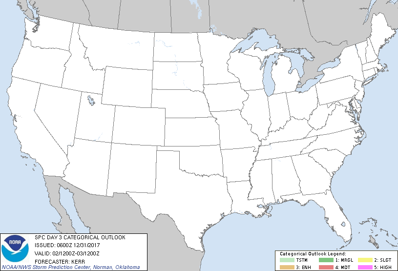
   ...NO THUNDERSTORM AREAS FORECAST...

   ...SUMMARY...
   The risk for thunderstorms appears negligible across the U.S.,
   Tuesday through Tuesday night.

   ...Discussion...
   Considerable weakening of initially expansive surface ridging to the
   east of the Rockies may occur during this period, but generally cold
   and stable conditions likely will persist across most areas.  In
   mid/upper levels, models continue to suggest that several short wave
   perturbations digging into lingering larger-scale troughing over the
   eastern U.S. may begin to consolidate and contribute to
   amplification of the cyclonic flow.  An associated increase in
   large-scale ascent along a slowing or stalling frontal zone east and
   south of the southern Florida Peninsula may contribute to the
   initiation of surface wave development by late Tuesday night.  At
   the present time, this seems most probable in the vicinity of the
   Bahamas, with any related thunderstorm development unlikely to
   impact Florida coastal areas.

   West of the Rockies, it appears that mid/upper ridging will
   generally hold across much of the Pacific Coast and Intermountain
   West, with dry and/or stable conditions precluding an appreciable
   risk for thunderstorms.

   ..Kerr.. 12/31/2017

   CLICK TO GET WUUS03 PTSDY3 PRODUCT

   NOTE: THE NEXT DAY 3 OUTLOOK IS SCHEDULED BY 0830Z
|

