SPC AC 191249
Day 1 Convective Outlook
NWS Storm Prediction Center Norman OK
0649 AM CST Fri Jan 19 2018
Valid 191300Z - 201200Z
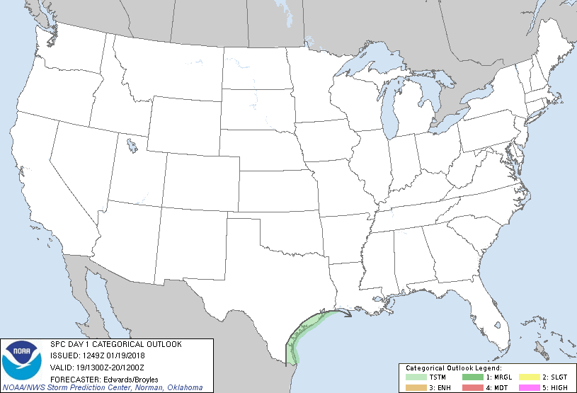
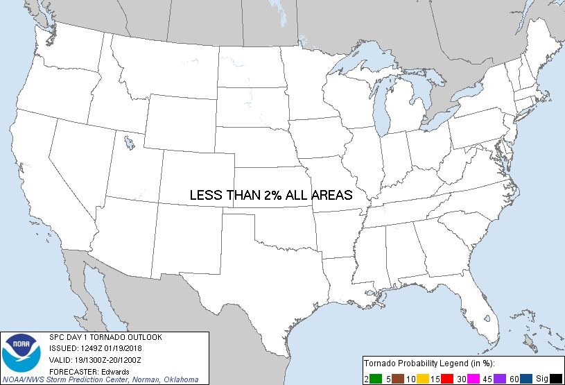
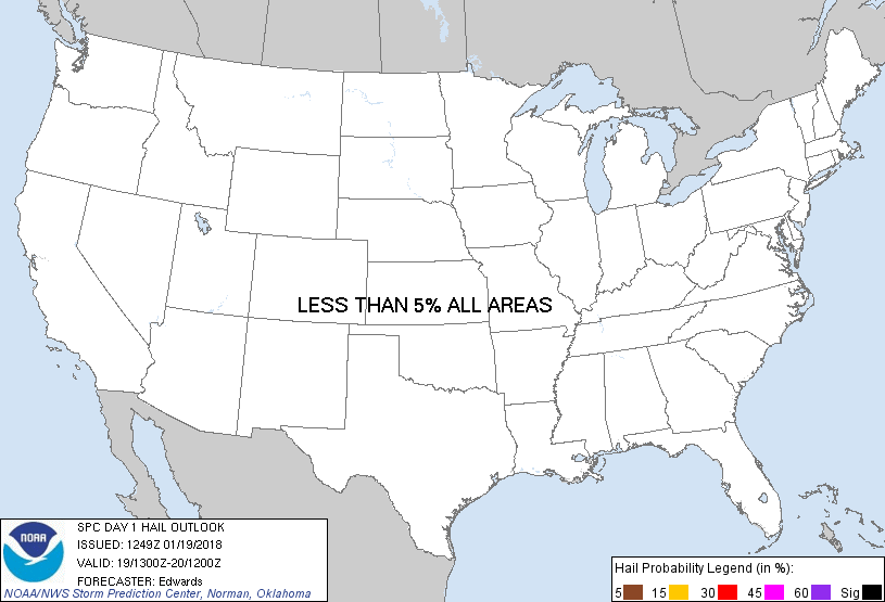
...NO SEVERE THUNDERSTORM AREAS FORECAST...
...SUMMARY...
A few thunderstorms are possible near portions of the Texas coast.
Severe storms are not expected today.
...Synopsis...
In mid/upper levels, a low-amplitude pattern exists across the
northern 1/2-1/3 of the country, downstream from a high-amplitude,
positively tilted trough now located just offshore from the West
Coast. That trough is forecast to move eastward through the period,
reaching southern ID, NV, southern CA, and offshore central/northern
Baja by 12Z. Meanwhile, a considerably weaker southern-stream
trough -- now evident in moisture-channel imagery from AR across
south TX to Sinaloa (MX) -- is expected to move eastward and weaken
gradually. By the end of the period, this trough should be located
from northern AL to deep south TX and northeastern MX.
At the surface, stable/low-theta-e conditions will prevail over most
of the nation in the wake of recent polar frontal passages.
However, sufficient low-level moisture, lift and instability above
the surface will exist to support a thunderstorm risk near the TX
coast as discussed below. A north-south elongated, frontal-wave
cyclone was analyzed at 11Z off the lower TX coast with
quasistationary front southward parallel to the northeastern MX
coast and a warm front east-southeastward across the central Gulf.
A second front, representing a marine-flux-induced thermal gradient
in cooler ambient air, arched from the low across the outer shelf
waters of the TX coast. The low should become more diffuse this
evening and overnight as the mid/upper wave moves past, while the
marine/warm-frontal zones slowly merge and shift northward.
...TX coast...
A plume of convection, with isolated to widely scattered embedded
thunderstorms, will continue through much of today before
diminishing tonight as related lift weakens. Until then, this
activity will be supported by a combination of:
* Elevated moisture return in an immature but still sufficient
source-trajectory modification regime;
* Contributions to large-scale ascent from weak DCVA (ahead of the
southern-stream trough) and low-level warm advection;
* Frontogenetic forcing, primarily over water.
The 12Z CRP sounding yielded about 500 J/kg elevated MUCAPE, which
should be near the maximum amount likely to occur over land.
Buoyancy should be larger and deeper over water and near the low
where low/middle-level lapse rates are greatest. Although the bulk
of thunderstorms will remain over the Gulf, sporadic/isolated
lightning is possible over the coast and just inland.
..Edwards/Broyles.. 01/19/2018
CLICK TO GET WUUS01 PTSDY1 PRODUCT
NOTE: THE NEXT DAY 1 OUTLOOK IS SCHEDULED BY 1630Z
|