Probability of a tornado within 25 miles of a point. Hatched Area: 10% or greater probability of EF2 - EF5 tornadoes within 25 miles of a point.
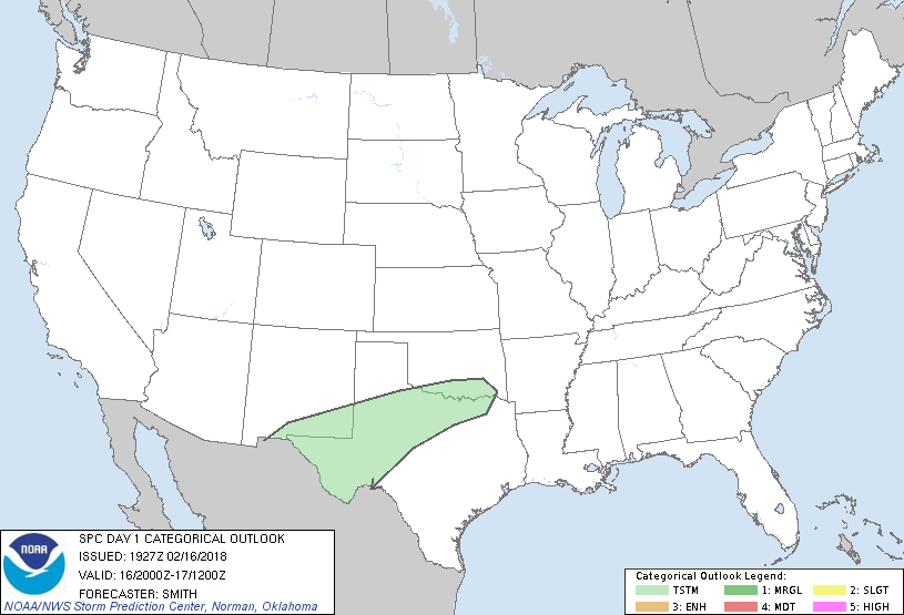
Day 1 Tornado Risk
Area (sq. mi.)
Area Pop.
Some Larger Population Centers in Risk Area
No Risk Areas Forecast
Probabilistic Damaging Wind Graphic
Probability of damaging thunderstorm winds or wind gusts of 50 knots or higher within 25 miles of a point. Hatched Area: 10% of greater probability of wind gusts 65 knots or greater within 25 miles of a point.
Day 1 Wind Risk
Area (sq. mi.)
Area Pop.
Some Larger Population Centers in Risk Area
No Risk Areas Forecast
Probabilistic Large Hail Graphic
Probability of hail 1" or larger within 25 miles of a point. Hatched Area: 10% or greater probability of hail 2" or larger within 25 miles of a point.
Day 1 Hail Risk
Area (sq. mi.)
Area Pop.
Some Larger Population Centers in Risk Area
No Risk Areas Forecast
   SPC AC 161927

   Day 1 Convective Outlook
   NWS Storm Prediction Center Norman OK
   0127 PM CST Fri Feb 16 2018

   Valid 162000Z - 171200Z

   ...NO SEVERE THUNDERSTORM AREAS FORECAST...

   ...SUMMARY...
   Isolated thunderstorms will be possible from southern New Mexico and
   west Texas late this afternoon into northwest Texas and extreme
   southern Oklahoma overnight.

   ...Discussion...
   No change is needed the previous forecast.

   ..Smith.. 02/16/2018

   .PREV DISCUSSION... /ISSUED 1009 AM CST Fri Feb 16 2018/

   ...Synopsis...
   In the wake of a positive-tilt midlevel trough now crossing the
   Great Lakes, a surface cold front will continue to move
   southeastward across the corridor from TX to the Carolinas.  Despite
   boundary-layer dewpoints in the 60s south of the front, relatively
   warm temperature profiles aloft will limit any potential for deep
   convection in the warm sector.  Instead, weak elevated buoyancy is
   expected above the frontal surface across parts of TX, in
   association with an ejecting southern-stream shortwave trough.  A
   few lightning strikes will be possible starting later this afternoon
   across far west TX, and then spreading east-northeastward toward
   northwest TX and extreme southern OK overnight.

   CLICK TO GET WUUS01 PTSDY1 PRODUCT

   NOTE: THE NEXT DAY 1 OUTLOOK IS SCHEDULED BY 0100Z