SPC AC 261234
Day 1 Convective Outlook
NWS Storm Prediction Center Norman OK
0634 AM CST Mon Feb 26 2018
Valid 261300Z - 271200Z
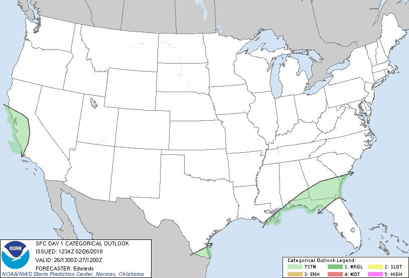
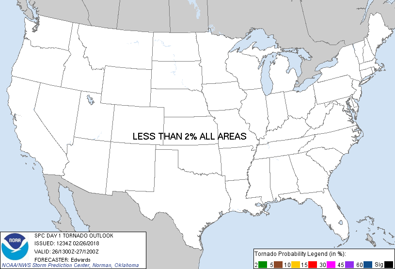
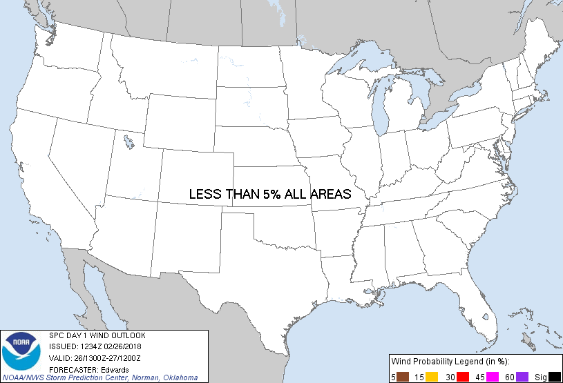
...NO SEVERE THUNDERSTORM AREAS FORECAST...
...SUMMARY...
Thunderstorms are possible across portions of the Southeast and Gulf
Coast, deep south Texas, and parts of central/western California.
...Synopsis...
In mid/upper levels, a strong shortwave trough -- now evident in
moisture-channel imagery just offshore from the OR/CA border -- is
expected to dig southeastward down the CA coast this period. A
closed 500-mb cyclone will develop near the SFO-MRY corridor and in
the 00-06Z time frame, and should intensify as it moves over the
Coast Range west of BFL by 12Z. Associated large-scale
ascent/cooling aloft will contribute weak convective instability in
support of general thunderstorm potential over parts of
northern/central CA this afternoon and evening.
Downstream from this feature, westerly to southwesterly flow will
prevail over most of the country. Within that flow, the main
perturbation should be a positively tilted shortwave trough -- much
weaker than the one near the West Coast -- currently located from
Lower MI across the Ozarks to northeast TX. This trough should move
east-northeastward and weaken through the period, reaching
southeastern New England, DE, and western NC by 00Z, before moving
offshore entirely.
At the surface, 11Z analysis showed a diffuse cold front from the
central/southern Appalachians across parts of southern MS,
southeastern LA, and the northwestern Gulf, to near BRO. The front
should drift southward over the northwestern Gulf before stalling
this afternoon and evening, while proceeding eastward over the
southeast. A weak prefrontal low was analyzed near PNS, and near
the intersection of two outflow boundaries: an older boundary
extending across the AAF and JAX areas, and fresher outflow from
ongoing convection/precip over southwestern GA, southeastern AL and
extreme southeastern LA. This low, associated with the mid/upper
perturbation, is expected to move east-northeastward today, likely
into rain-cooled air.
...Southern GA/northern FL Panhandle region...
A southwest/northeast-aligned plume of convective precip, with
sporadic, isolated, embedded thunderstorms, should proceed eastward
across the region through mid-afternoon. This activity is ahead of
the bulk of overnight model progs, including even the shorter-fused,
radar-assimilating, convection-allowing guidance.
Somewhat favorable CAPE/shear parameter-space juxtapositions have
been apparent in some models for 15Z-20Z. In the boundary layer, a
small wedge of optimal Gulf marine-sector air may advect into this
region as the older/southern outflow boundary diffuses and moves
northeastward, merging with the northern boundary, the surface low
proceeds obliquely inland, and the related isallobaric forcing veers
the maritime/tropical sector flow to southwesterly. Forecast
soundings from those most-aggressive progs depict 150-200 J/kg
effective SRH near the combined boundary, along with around 45 kt
southwesterly effective-shear vectors and around 500 J/kg MLCAPE.
However, caveats precluding an outlook are:
1. Ongoing convective trends showing decidedly subsevere/
quasi-linear mode. Given the weakening/positively tilted nature of
the parent perturbation and its effects on flow geometry aloft,
rendering mean winds nearly parallel to the convective plume, modal
recovery is not very probable.
2. The presence of more antecedent precip, both east of the main
line and in the line's faster/more eastward position as noted above.
This renders uncertainty to extent of both prefrontal boundary
retreat inland and diurnal/diabatic destabilization, especially
given very weak lapse rates aloft per 12Z TLH sounding.
3. The veering itself south of the ultimately combined boundary,
with resultant reduction in both hodograph size and low-level
convergence.
..Edwards.. 02/26/2018
CLICK TO GET WUUS01 PTSDY1 PRODUCT
NOTE: THE NEXT DAY 1 OUTLOOK IS SCHEDULED BY 1630Z
|