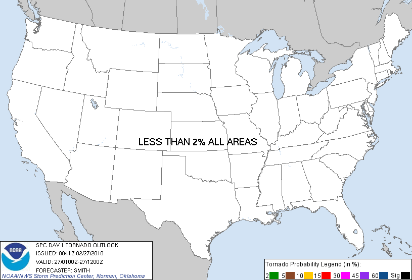
Probability of a tornado within 25 miles of a point. Hatched Area: 10% or greater probability of EF2 - EF5 tornadoes within 25 miles of a point.
Day 1 Tornado Risk
Area (sq. mi.)
Area Pop.
Some Larger Population Centers in Risk Area
No Risk Areas Forecast
Probabilistic Damaging Wind Graphic
Probability of damaging thunderstorm winds or wind gusts of 50 knots or higher within 25 miles of a point. Hatched Area: 10% of greater probability of wind gusts 65 knots or greater within 25 miles of a point.
Day 1 Wind Risk
Area (sq. mi.)
Area Pop.
Some Larger Population Centers in Risk Area
No Risk Areas Forecast
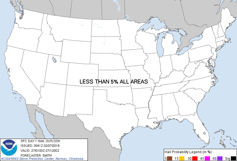
Probabilistic Large Hail Graphic
Probability of hail 1" or larger within 25 miles of a point. Hatched Area: 10% or greater probability of hail 2" or larger within 25 miles of a point.
Day 1 Hail Risk
Area (sq. mi.)
Area Pop.
Some Larger Population Centers in Risk Area
No Risk Areas Forecast
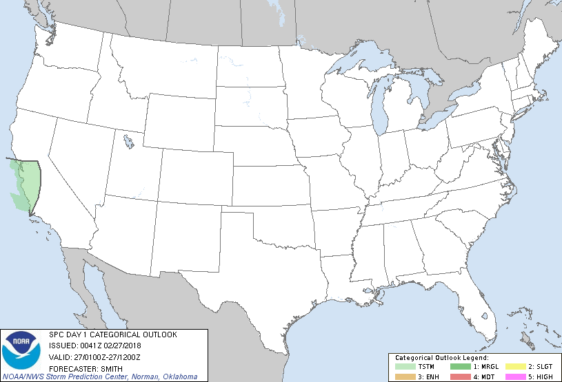
   SPC AC 270041

   Day 1 Convective Outlook
   NWS Storm Prediction Center Norman OK
   0641 PM CST Mon Feb 26 2018

   Valid 270100Z - 271200Z

   ...NO SEVERE THUNDERSTORM AREAS FORECAST...

   ...SUMMARY...
   Severe thunderstorms are not forecast tonight over the Lower 48
   states.

   ...Synopsis...
   A mid-level trough over CA will evolve into a closed low as it moves
   from the Bay Area to central CA through early Tuesday morning.  A
   few thunderstorms are possible mainly this evening across coastal
   central CA in association with dynamic cooling/forcing for ascent
   with weak/low-topped convection.  Farther east, low-amplitude flow
   will extend from the Rockies to the East Coast and stable conditions
   will preclude thunderstorm development.

   ..Smith.. 02/27/2018

   CLICK TO GET WUUS01 PTSDY1 PRODUCT

   NOTE: THE NEXT DAY 1 OUTLOOK IS SCHEDULED BY 0600Z