SPC AC 150559
Day 1 Convective Outlook
NWS Storm Prediction Center Norman OK
1259 AM CDT Thu Mar 15 2018
Valid 151200Z - 161200Z
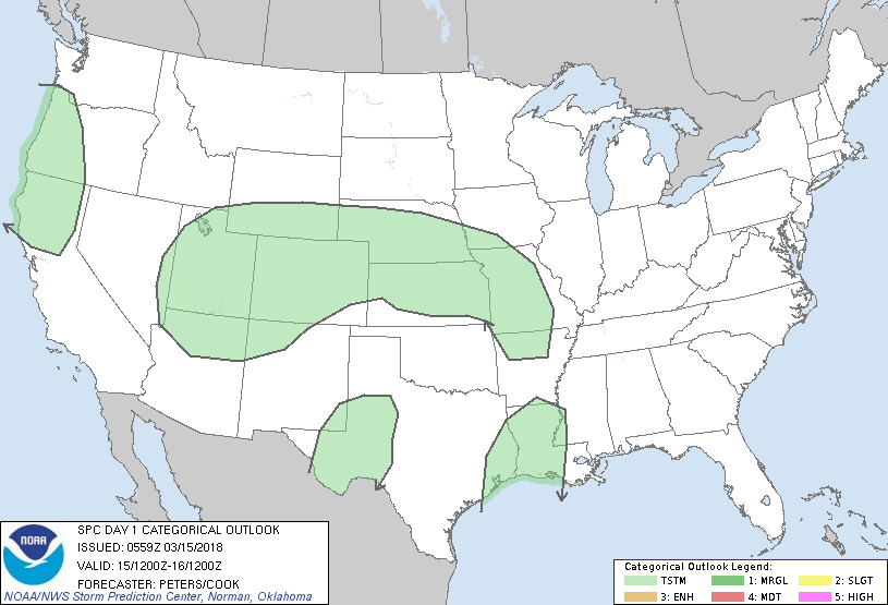
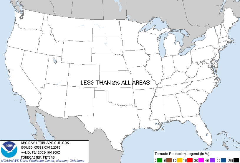
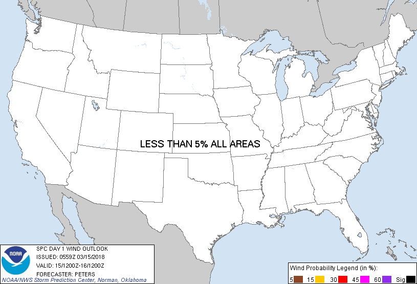
...NO SEVERE THUNDERSTORM AREAS FORECAST...
...SUMMARY...
There is a potential for thunderstorms from western Oregon, northern
California, across the Four Corners States, and the Texas South
Plains during the afternoon to early evening. Then, thunderstorms
will develop tonight across the central Plains to lower Missouri
Valley, and across southeast Texas into the lower Mississippi
Valley. Severe storms are not expected.
...Synopsis...
A large closed cyclone is expected to evolve from off the Pacific
Northwest Coast into the northern Great Basin and southwest Canada
this forecast period. This system will become cutoff from the
large-scale wind pattern, as a split-flow regime develops from the
Pacific into the western half of the United States. Within the
southern stream, a shortwave trough moving through southern CA
around 12Z today should become negatively tilted as it tracks
through the Four Corners States into the central Plains. The track
of this trough and a couple of weaker impulses in the lower
latitudes are expected to result in the breaking down of an upper
ridge over the Plains to the northwest Gulf Coast region.
...Four Corners States...
Height falls (60-100-meter per 12-hours at 500 mb) and cooling
midlevel temperatures will steepen lapse rates as profiles moisten
within the exit region of a midlevel jet accompanying the southern
CA trough. Despite scant precipitable water, buoyancy should
increase for convection to deepen from the eastern Great Basin into
the central Rockies through the afternoon. Given 500-mb
temperatures of -22 to -28 C, the strongest updrafts are forecast to
reach heights deep enough for lightning discharge. Although bulk
shear will be too weak to support organized storms, the cold
temperatures aloft and MUCAPE of a few hundred J/kg suggest small
hail could occur.
...Western OR and northern CA...
The coldest 500-mb temperatures (less than -30 C) attendant to the
aforementioned large closed cyclone will spread south-southeast
across western OR into northern CA. Forcing for ascent attendant to
height falls and midlevel impulses rotating through the base of the
cyclone combined with weak instability should allow for thunderstorm
development through the afternoon.
...TX South Plains into southeast NM...
Deep boundary-layer mixing is expected across this region through
the afternoon. Weak height falls within the southern extension of
the southern CA trough moving across this region by late afternoon
and low-level confluent flow in vicinity of the dryline should allow
for a few high-based thunderstorms to form. This activity should
weaken this evening.
...Central Plains to lower Missouri Valley into northern AR...
In response to height falls attendant to the approaching southern CA
shortwave trough, a lee surface low is expected to develop over
eastern CO today, and move into northwest to north-central KS
tonight. A warm front will develop eastward from this low through
central or northern KS into southern MO and far northern AR, with
this boundary generally being the southern limit for elevated storms
after dark to early Friday morning. Exit region of an 80-kt 500-mb
speed max should aid convective development across the High Plains
of northeast CO into parts of central KS by early evening. This
activity will develop and spread eastward through tonight, expanding
in coverage as a warm advection increases across the central Plains
and MO within the nose of a broad, strengthening southerly low-level
jet. Precipitable water generally less than 1 inch and the
combination of weak elevated instability and shear should preclude a
severe threat across this region.
...Southeast TX into lower Mississippi Valley...
A weak midlevel impulse moving into northern Mexico at this time is
expected to track eastward today, reaching eastern TX into the lower
Mississippi Valley tonight. The southern branch of a strengthening
low-level jet is expected to focus across the upper TX Coast this
evening before shifting into LA after midnight. A substantial
moisture surge (precipitable water 1-1.5 inches) will be associated
with this jet. This combined with warm advection and weak forcing
for ascent attendant to the northern Mexico impulse is expected to
aid elevated thunderstorms primarily during the latter half of the
period. Weak buoyancy is expected to preclude a severe-weather
threat.
..Peters/Cook.. 03/15/2018
CLICK TO GET WUUS01 PTSDY1 PRODUCT
NOTE: THE NEXT DAY 1 OUTLOOK IS SCHEDULED BY 1300Z
|