SPC AC 151241
Day 1 Convective Outlook
NWS Storm Prediction Center Norman OK
0741 AM CDT Thu Mar 15 2018
Valid 151300Z - 161200Z
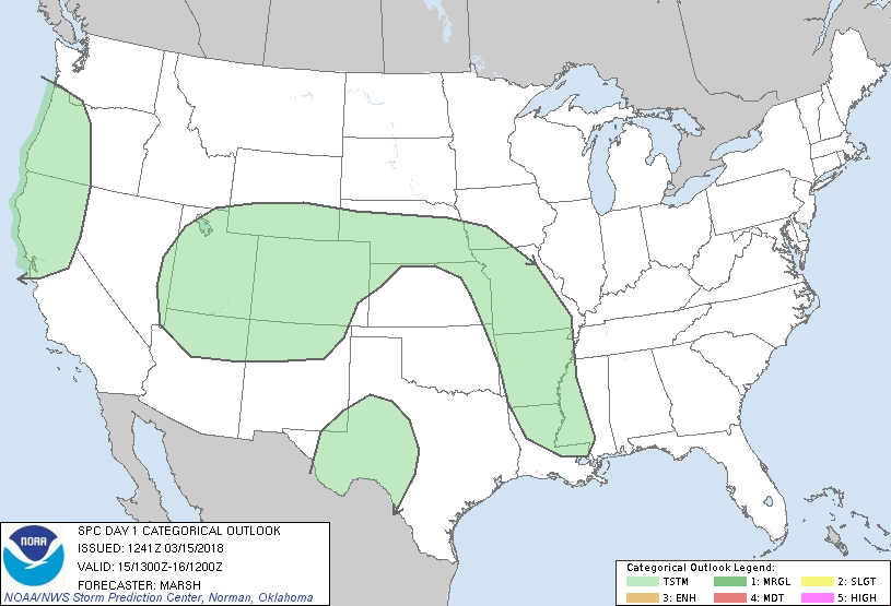
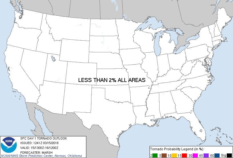
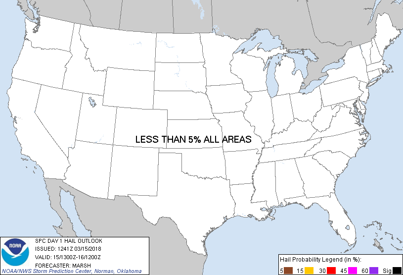
...NO SEVERE THUNDERSTORM AREAS FORECAST...
...SUMMARY...
Thunderstorms are possible this morning and afternoon across
northern California. Additional thunderstorms are possible across
the Four Corners states and portions of far West Texas this
afternoon and evening. Overnight thunderstorms should develop in an
arc from central Nebraska southeast into the Lower Mississippi
Valley. Severe thunderstorms is not expected.
...Synopsis...
Deep, cold midlevel troughs/lows will bookend the United States on
Thursday with a sharp ridge in between. A midlevel shortwave trough
emanating from the western trough will eject north-northeastward
into the central Plains during the day.
At the surface, several days of ridging across much of the United
States east of the Rockies has maintained a dry, continental airmass
across the region, with appreciable moisture limited to far south
Texas and the Gulf of Mexico. The ridge is now centered across the
northeast Gulf coast allowing for synoptic-scale southerly winds to
develop across the southern Plains. The speed of this southerly flow
will be augmented by an increasing pressure gradient stemming from
the development/deepening of a sub-1000 millibar low across eastern
Colorado. As such, moisture will begin returning into the
south-central United States through the forecast period.
...Northern California and western Oregon...
Very cold thermal profiles associated with the aforementioned
midlevel low will support shallow convection given surface
temperatures in the low-to-mid 40s. Although the height of the
equilibrium level will around 500 millibars, the temperatures at
this level will be on the order of -30C, sufficient for charge
separation and a few lightning strikes with the more vigorous
convection.
...Four Corner Region into the central High Plains...
As the aforementioned shortwave trough lifts north-northeastward
into the central United States, height falls on the order of
60-100-meters per 12-hours at 500 millibars) will overspread the
area. Although profile moisture is limited, steepening lapse rates
(aided by temperatures around -25C at 500 millibars) will combine
with height falls to allow for scattered convection to
increase/deepen through the afternoon. Given the cold temperatures
aloft, hail/graupel may develop with the stronger updrafts.
...West Texas...
Despite surface dewpoint temperatures in the low-to-mid 40s during
the late afternoon, a few thunderstorms may develop as ascent from a
500-millibar jet overspreads the region. Strong insolation will
support a deep, well-mixed boundary layer across this area,
suggesting that any thunderstorms that develop will be high-based
and rooted in the 600-700 millibar layer. Given the dry sub-cloud
layer, strong, gusty winds may be possible with these thunderstorms.
...Central Plains into the Lower/Mid Mississippi Valley...
Increasing warm-air advection this evening/overnight on the nose of
a broad south-southwest low-level jet associated with the ejecting
shortwave trough will allow for rapid moisture transport just above
the surface layer. As the low-level jet spreads far enough
northeast, isentropic ascent will become sufficient to result in a
few thunderstorms, especially across northeast Kansas and northern
Missouri, potentially stretching as far south as central Arkansas.
Farther south, thunderstorm potential is more conditional, but
continued low-level moistening through the night may allow
thunderstorms to develop across southern Arkansas, northern
Louisiana, and western Mississippi very late in the forecast period.
Greater thunderstorm potential, however, will occur in the day 2
time frame.
..Marsh.. 03/15/2018
CLICK TO GET WUUS01 PTSDY1 PRODUCT
NOTE: THE NEXT DAY 1 OUTLOOK IS SCHEDULED BY 1630Z
|