SPC AC 021715
Day 2 Convective Outlook
NWS Storm Prediction Center Norman OK
1115 AM CST Tue Jan 02 2018
Valid 031200Z - 041200Z
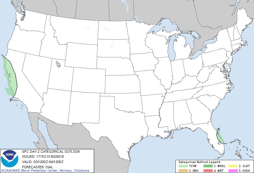
...NO SEVERE THUNDERSTORM AREAS FORECAST...
...SUMMARY...
A few thunderstorms are expected across the central and northern
California coastal areas late Wednesday afternoon and evening. Other
thunderstorms might occur early Wednesday along a portion of the
east Florida coast.
...Synopsis...
The synoptic pattern will remain dominated by a high-amplitude upper
trough over the eastern U.S. with an upstream ridge in the west. A
significant shortwave trough will move into the base of the synoptic
trough and through the northeast Gulf. This feature will cross the
FL peninsula Wednesday afternoon, inducing cyclogenesis off the east
coast of FL. Farther west a shortwave trough will move into northern
and central CA Wednesday night.
...Central through northwest California coastal areas...
Modest mid-level lapse rates within a strengthening warm advection
regime will contribute to weak instability over the central and
northwest CA coastal areas in advance of the approaching shortwave
trough. Scattered convection with a few thunderstorms developing
within this regime will move onshore during the late afternoon or
evening and continue into a portion of the overnight.
...Florida east coast...
Most thunderstorms will remain offshore, but a few thunderstorms
could develop along the east FL coast in vicinity of a convergence
zone near an inverted trough early in the period. Additional
convection might develop farther inland, deeper in the post frontal
zone in association with ascent accompanying the shortwave trough.
While most of this activity will probably remain too shallow for
charge separation, a few lightning strikes cannot be ruled out.
..Dial.. 01/02/2018
CLICK TO GET WUUS02 PTSDY2 PRODUCT
NOTE: THE NEXT DAY 2 OUTLOOK IS SCHEDULED BY 0700Z
|