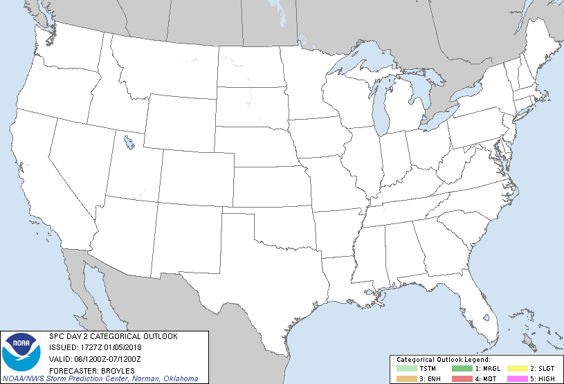
Jan 5, 2018 1730 UTC Day 2 Convective Outlook
Updated: Fri Jan 5 17:27:18 UTC 2018 (20180105 1730Z Day 2 shapefile | 20180105 1730Z Day 2 KML)
Probabilistic to Categorical Outlook Conversion Table
Categorical Graphic
20180105 1730 UTC Day 2 Outlook Graphic
Day 2 Risk Area (sq. mi.) Area Pop. Some Larger Population Centers in Risk Area
No Risk Areas Forecast
Probabilistic Graphic
20180105 1730 UTC Day Probabilitic Graphic
Probability of severe weather within 25 miles of a point.
Hatched Area: 10% or greater probability of significant severe within 25 miles of a point.
Day 2 Prob. Risk Area (sq. mi.) Area Pop. Some Larger Population Centers in Risk Area
No Risk Areas Forecast
   SPC AC 051727

   Day 2 Convective Outlook  
   NWS Storm Prediction Center Norman OK
   1127 AM CST Fri Jan 05 2018

   Valid 061200Z - 071200Z

   ...NO THUNDERSTORM AREAS FORECAST...

   ...SUMMARY...
   Thunderstorms are not expected to develop across the contiguous
   United States on Saturday or Saturday night.

   ...DISCUSSION...
   An upper-level trough will move across the Northeast on Saturday as
   northwest mid-level flow remains over the central and southeastern
   states. At the surface, high pressure will remain dominant across
   much of the CONUS making thunderstorm development unlikely on
   Saturday and Saturday night.

   ..Broyles.. 01/05/2018

   CLICK TO GET WUUS02 PTSDY2 PRODUCT

   NOTE: THE NEXT DAY 2 OUTLOOK IS SCHEDULED BY 0700Z