   SPC AC 130648

   Day 2 Convective Outlook
   NWS Storm Prediction Center Norman OK
   1248 AM CST Sat Jan 13 2018

   Valid 141200Z - 151200Z

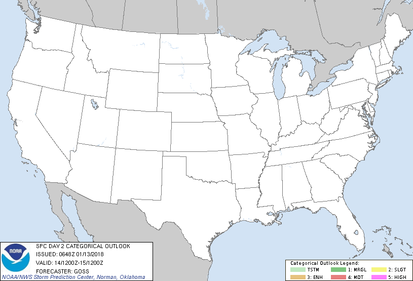
   ...NO THUNDERSTORM AREAS FORECAST...

   ...SUMMARY...
   No thunderstorms are expected over the U.S. Sunday.

   ...Synopsis...
   Very slow/gradual progression of the upper pattern is forecast over
   the U.S., as an eastern Pacific trough approaches the West Coast.
   As this occurs, slow eastward advance of the sharp western U.S.
   ridge, and of the large/broad central and eastern U.S. trough is
   expected.

   At the surface, cold high pressure will prevail over the country,
   though a cold front will approach the west coast late in the period.
    Still, with a lack of instability ahead of this front, and given
   the continental polar airmass in place across the remainder of the
   country, thunderstorms are not expected.

   ..Goss.. 01/13/2018

   CLICK TO GET WUUS02 PTSDY2 PRODUCT

   NOTE: THE NEXT DAY 2 OUTLOOK IS SCHEDULED BY 1730Z
|

