SPC AC 070545
Day 2 Convective Outlook
NWS Storm Prediction Center Norman OK
1145 PM CST Tue Mar 06 2018
Valid 081200Z - 091200Z
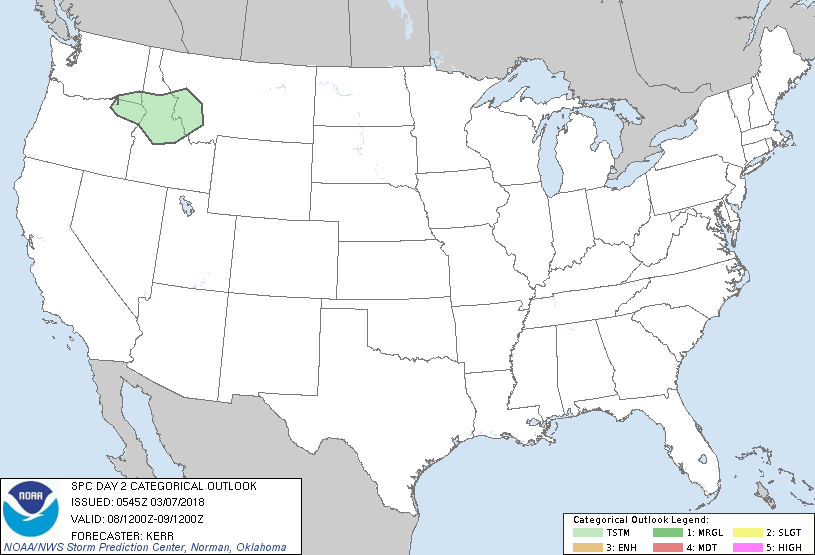
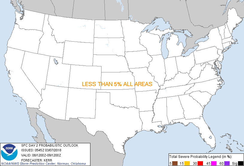
...NO SEVERE THUNDERSTORM AREAS FORECAST...
...SUMMARY...
The risk for severe storms appears negligible across the U.S.
Thursday through Thursday night.
...Discussion...
To the southwest of a persistent blocking ridge (centered in the
vicinity of Newfoundland and Labrador), models indicate the
continued evolution of a broad and deep mid-level closed low to the
east of the lower Great Lakes region during this period. As this
occurs, amplified cyclonic flow will be maintained east of the
Mississippi Valley through the western Atlantic. An associated
surface frontal zone may continue to advance southward through the
Bahamas and Caribbean, but, after stalling across parts of the
southwestern Gulf of Mexico, it probably will begin to retreat
northeastward.
Upstream, broad mid/upper ridging is expected to prevail across much
of the West, into the Plains. However, within one branch of
mid-latitude westerlies emanating from the Pacific, it does appear
that the increasingly sheared/deformed remnants of a cyclonic
circulation will accelerate inland across the Pacific Northwest
coast through the northern intermountain region. This is expected
to precede another impulse progressing inland across British
Columbia and Pacific Northwest coastal areas by late Thursday night.
...Northern intermountain region...
In association with the initial inland migrating impulse, it appears
that modest mid-level cooling may contribute to steepening lapse
rates across parts of the Columbia Valley and Plateau into the
northern Rockies on Thursday. Coupled with at least some
moistening, pockets of weak destabilization may contribute to
convection capable of producing lightning. Although this is still
expected to be fairly isolated and brief in nature, it is possible
that the higher terrain of northeast Oregon and central Idaho into
parts of western Montana could provide a focus for coverage
exceeding 10 percent, mainly late Thursday afternoon into Thursday
night.
..Kerr.. 03/07/2018
CLICK TO GET WUUS02 PTSDY2 PRODUCT
NOTE: THE NEXT DAY 2 OUTLOOK IS SCHEDULED BY 1730Z
|