   SPC AC 030625

   Day 3 Convective Outlook
   NWS Storm Prediction Center Norman OK
   1225 AM CST Wed Jan 03 2018

   Valid 051200Z - 061200Z

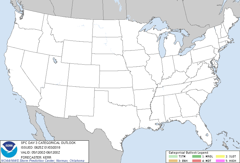
   ...NO THUNDERSTORM AREAS FORECAST...

   ...SUMMARY...
   The risk for thunderstorms appears negligible across the U.S.,
   Friday through Friday night.

   ...Discussion...
   Models indicate that large-scale eastern U.S. upper troughing will
   lose amplitude and begin to accelerate east northeast of the
   Atlantic Seaboard during this period, as the center of an associated
   large and deep cyclone migrates across and northeast of the Canadian
   Maritimes.  In its wake, it appears that mid/upper flow may begin to
   trend more zonal across the U.S., with consolidating short waves
   within one evolving belt of westerlies emanating from the Pacific
   forecast to migrate inland across the northern California/Oregon
   coast vicinity.  It is possible that these features could be
   accompanied by weak destabilization supportive of some potential for
   convection capable of producing lightning, across coastal areas into
   parts of the Great Basin Friday through Friday night.  However, at
   the present time, it appears that any such activity will be sparse
   in coverage, with probabilities for thunderstorms less than 10
   percent.  Otherwise, elsewhere, generally stable conditions are
   expected to preclude the risk for thunderstorms.

   ..Kerr.. 01/03/2018

   CLICK TO GET WUUS03 PTSDY3 PRODUCT

   NOTE: THE NEXT DAY 3 OUTLOOK IS SCHEDULED BY 0830Z
|

