SPC AC 050819
Day 3 Convective Outlook
NWS Storm Prediction Center Norman OK
0219 AM CST Fri Jan 05 2018
Valid 071200Z - 081200Z
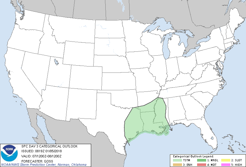
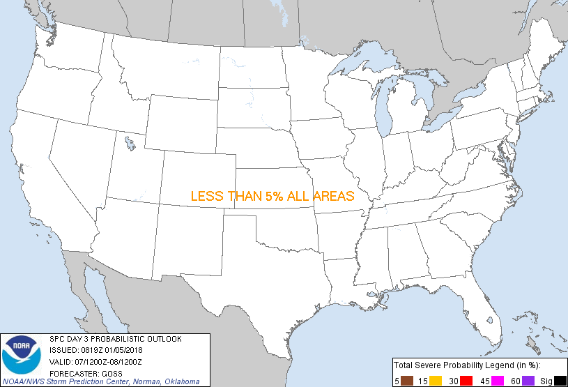
...NO SEVERE THUNDERSTORM AREAS FORECAST...
...SUMMARY...
Showers and a few thunderstorms are expected from east Texas into
the lower Mississippi Valley late Sunday/early Monday, though any
risk for severe weather appears minimal.
...Synopsis...
As eastern U.S. upper troughing continues to shift offshore/across
the western Atlantic, a second trough -- comprised of northern and
southern stream impulses -- is forecast to cross the central U.S.
Sunday.
At the surface, weak troughing is forecast to cross the central U.S.
in conjunction with the upper troughing, while otherwise high
pressure will prevail.
...South-central U.S....
As southern-stream upper short-wave troughing crosses the southern
Plains during the second half of the period, a weak surface low will
likewise shift eastward, with current progs indicating that it will
reach the lower Mississippi Valley by the end of the period.
With recent cold intrusions into the Gulf of Mexico -- and thus a
very incompletely modified boundary layer expected over the northern
Gulf as this low shifts east, it would appear likely that northward
advection of this air will remain trapped beneath a warmer
lower-tropospheric layer. As such, surface-based convection appears
unlikely at this time. With that said, rain/rain showers -- and
possibly embedded/elevated thunderstorms -- will likely spread east
out of east Texas and then across the Louisiana/Mississippi vicinity
late in the period. With any CAPE likely to remain elevated and
weak, severe risk appears minimal at best.
..Goss.. 01/05/2018
CLICK TO GET WUUS03 PTSDY3 PRODUCT
NOTE: THE NEXT DAY 3 OUTLOOK IS SCHEDULED BY 0830Z
|