SPC AC 150819
Day 3 Convective Outlook
NWS Storm Prediction Center Norman OK
0219 AM CST Mon Jan 15 2018
Valid 171200Z - 181200Z
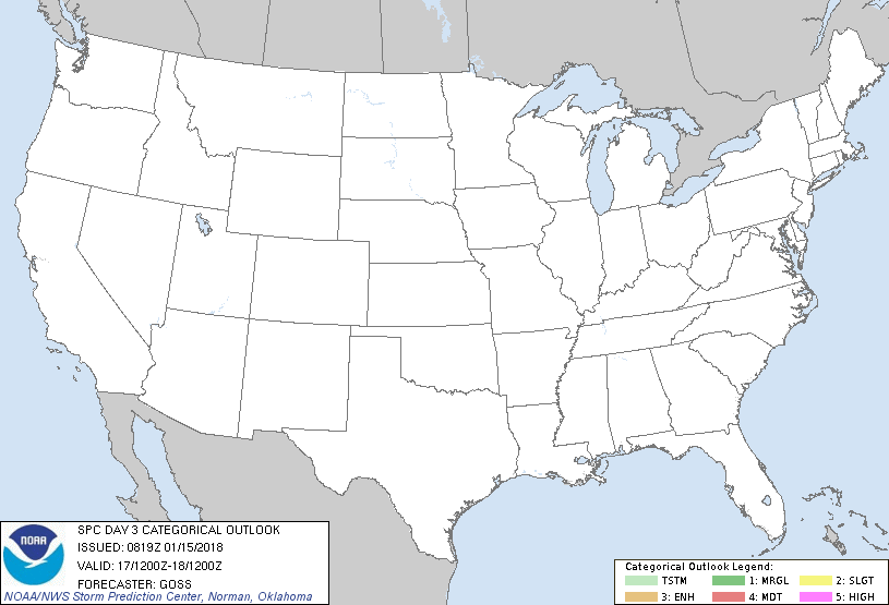
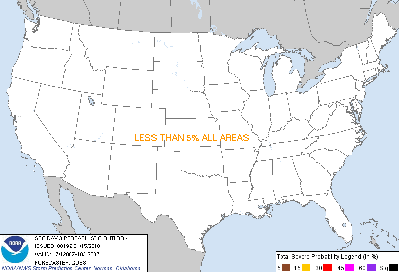
...NO THUNDERSTORM AREAS FORECAST...
...SUMMARY...
Thunderstorms are not expected across the U.S. Wednesday.
...Synopsis...
Evolution toward a more progressive/lower-amplitude pattern aloft is
expected Wednesday, as the eastern U.S. trough accelerates toward --
and then off -- the East Cost overnight. Meanwhile, weakly phased
northern and southern-stream short-wave troughing will continue to
cross the Rockies and eventually emerge into the Plains overnight,
contributing to a continued suppression of background
longer-wavelength ridging.
At the surface, high pressure will continue to prevail east of the
Rockies. The cool/stable boundary layer will again result in
conditions unfavorable for thunderstorms over the eastern 2/3 of the
country. In the West, increasingly strong southwesterly flow aloft
ahead of an upper low over the northeast Pacific will support
upslope flow over the high terrain, and a corresponding increase in
precipitation/convection through the second half of the period.
While sporadic/occasional lightning strikes may occur --
particularly over western Washington late, coverage appears likely
at this time to remain too sparse to warrant inclusion of a thunder
area.
..Goss.. 01/15/2018
CLICK TO GET WUUS03 PTSDY3 PRODUCT
NOTE: THE NEXT DAY 3 OUTLOOK IS SCHEDULED BY 0830Z
|