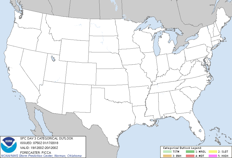
   SPC AC 170750

   Day 3 Convective Outlook
   NWS Storm Prediction Center Norman OK
   0150 AM CST Wed Jan 17 2018

   Valid 191200Z - 201200Z

   ...NO THUNDERSTORM AREAS FORECAST...

   ...SUMMARY...
   The potential for thunderstorms appears low across the United States
   Friday.

   ...Discussion...
   Between a trough building along the West Coast and a weak ridge
   stretching from Baja California to the Ohio Valley, enhanced
   southwesterly mid-level flow will persist from California to the
   Midwest. In turn, a relatively progressive pattern will continue,
   especially across northern portions of the country. Farther south, a
   pair of weak impulses will partially phase over the central Gulf
   Coast Friday night.

   Across the country, thunderstorm chances appear fairly low through
   the period. A couple lightning strikes may be possible across the
   northern California coast, owing to cold temperatures aloft.
   However, decreasing boundary-layer moisture will limit buoyancy,
   relative to the previous day, likely tempering thunderstorm
   activity. Along the western/central Gulf Coast, weak forcing for
   ascent will continue to yield pockets of elevated buoyancy Friday.
   However, similar to the previous period, forecast buoyancy profiles
   appear too thin/weak to support sustained deep convection.

   ..Picca.. 01/17/2018

   CLICK TO GET WUUS03 PTSDY3 PRODUCT

   NOTE: THE NEXT DAY 3 OUTLOOK IS SCHEDULED BY 0830Z
|

