SPC AC 160819
Day 3 Convective Outlook
NWS Storm Prediction Center Norman OK
0219 AM CST Fri Feb 16 2018
Valid 181200Z - 191200Z
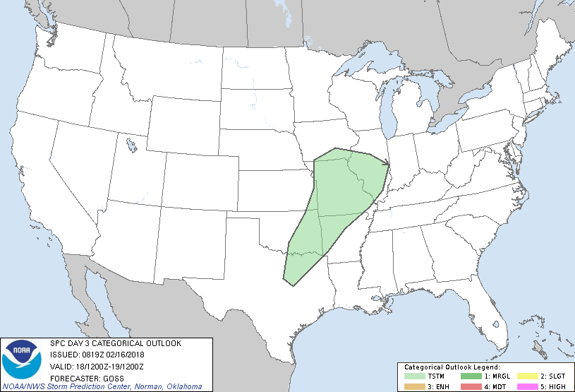
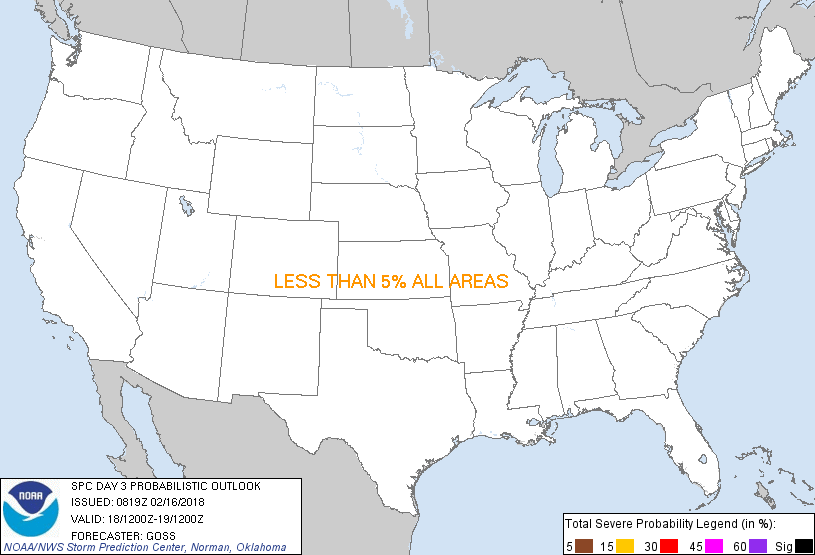
...NO SEVERE THUNDERSTORM AREAS FORECAST...
...SUMMARY...
Thunderstorms are forecast to evolve Sunday evening/overnight from
parts of the southern Plains into the lower Missouri/mid Mississippi
Valleys.
...Synopsis...
Significant amplification of the upper flow field over the U.S. is
expected to occur on Sunday, as short-wave troughing digs southeast
across the western states. This will allow cyclonic flow to expand
across roughly the western half of the U.S., while in response,
downstream ridging will increase across the Southeast, and adjacent
portions of the Gulf of Mexico, Caribbean, and western Atlantic.
At the surface/low levels, cold/polar air is forecast to spill
southward across the Intermountain West and northern Plains with
time, while a broad zone of southerly to southwesterly low-level
flow and attendant warm advection increases from the southern Plains
northeast across the Mississippi and Ohio Valleys and Great Lakes
region.
Showers and local/sporadic lightning will occur over parts of the
West -- mainly the northwestern portions of the country, but at this
time will not highlight an area for potential for 10% coverage of
lightning. Farther east, increasing low-level theta-e advection on
southerly/southwesterly flow will support increasing potential for
elevated shower/thunderstorm development -- mainly after dark on
Sunday. The most likely zone for thunderstorm activity will extend
from portions of the southern Plains north-northeast across the
lower Missouri and mid Mississippi Valley region through 19/12z.
..Goss.. 02/16/2018
CLICK TO GET WUUS03 PTSDY3 PRODUCT
NOTE: THE NEXT DAY 3 OUTLOOK IS SCHEDULED BY 0830Z
|