SPC AC 190828
Day 3 Convective Outlook
NWS Storm Prediction Center Norman OK
0228 AM CST Mon Feb 19 2018
Valid 211200Z - 221200Z
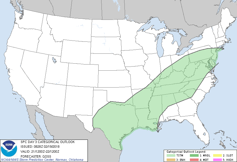
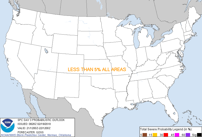
...NO SEVERE THUNDERSTORM AREAS FORECAST...
...SUMMARY...
Showers and embedded thunderstorms will be possible from portions of
the southern Plains east/northeast to the Mid-Atlantic region
Wednesday.
...Synopsis...
Little change to the large-scale upper pattern over the U.S. is
expected Wednesday, with a highly amplified trough over the Western
and central U.S. and ridging over the Southeast and adjacent western
Atlantic/Gulf of Mexico. At smaller scales, short-wave troughing
will continue to rotate around western and southern portions of the
long-wave trough, while another prominent short-wave trough moves
quickly across the Great Lakes and into eastern Canada.
At the surface, the rapid east-northeast advance of the
aformementioned short-wave trough across the Great Lakes will allow
similarly rapid eastward progression of a cold front across the
Northeast and Ohio Valley -- with the front moving off the New
England coast overnight. However, with a corresponding increase in
southeastern U.S. short-wave ridging aloft in the wake of the trough
passage, and with the larger-scale western trough remaining well to
the west, southern portions of the surface front should become
oriented increasingly west-to-east, with little forward advance is
it instead lingers across the Tennessee and lower Mississippi
Valleys and into southern and eastern Texas.
With limited instability expected ahead of the front -- particularly
from the Tennessee Valley area northeastward, and with short-wave
ridging increasing with time across the Southeast, thunderstorm
coverage and intensity will likely remain subdued. While hints
exist that a very weak trough/vort max may cross the southern Plains
during the period, insufficient elevated CAPE for appreciable hail
risk is anticipated. One area where a storm or two could evolve
with potential for a more robust updraft is across deep south Texas
and the lower Rio Grande Valley, near the remnant front. While
modestly sufficient instability could combine with marginal shear to
suggest local/low end severe potential, the scenario remains too
marginal and too uncertain to warrant introduction of even a low
(5%) severe probability area at this time.
..Goss.. 02/19/2018
CLICK TO GET WUUS03 PTSDY3 PRODUCT
NOTE: THE NEXT DAY 3 OUTLOOK IS SCHEDULED BY 0830Z
|