   SPC AC 060736

   Day 3 Convective Outlook
   NWS Storm Prediction Center Norman OK
   0136 AM CST Tue Mar 06 2018

   Valid 081200Z - 091200Z

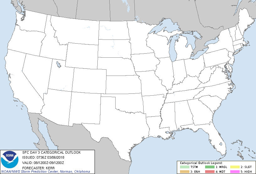
   ...NO THUNDERSTORM AREAS FORECAST...

   ...SUMMARY...
   The risk for severe storms appears negligible across the U.S.
   Thursday through Thursday night.

   ...Discussion...
   Within a persistent blocking pattern, models indicate that a broad
   mid-level closed low will continue to evolve across the Northeast
   during this period, contributing to the maintenance of amplified
   cyclonic flow east of the Mississippi Valley through the western
   Atlantic.  Upstream, large-scale mid/upper ridging appears likely to
   persist, particularly within consolidated branches of westerlies
   emanating from the mid-latitude and subtropical Pacific, across the
   Southwest into the southern High Plains.  To the north, a remnant
   cyclonic circulation approaching the Oregon coast early Thursday is
   forecast to accelerate inland.  Considerable weakening and
   deformation of this feature is forecast within a confluent regime,
   but at least some flattening of broader scale ridging appears
   probable across the northern intermountain region.

   ...Northwest...
   In association with the inland migrating impulse, modest mid-level
   cooling may contribute to steepening lapse rates across parts of the
   Columbia Valley and Basin into the northern Rockies.  There are some
   indications within model output that this could be sufficient to
   support weak thunderstorm development.  However, at this time, it
   not clear that this will be more than very isolated and brief in
   nature (i.e. less than 10 percent probability/coverage).

   ...Elsewhere...
   The evolving pattern is expected to maintain generally stable
   conditions with negligible risk for thunderstorms.

   ..Kerr.. 03/06/2018

   CLICK TO GET WUUS03 PTSDY3 PRODUCT

   NOTE: THE NEXT DAY 3 OUTLOOK IS SCHEDULED BY 0830Z
|

