SPC AC 060634
Day 3 Convective Outlook
NWS Storm Prediction Center Norman OK
0134 AM CDT Fri Apr 06 2018
Valid 081200Z - 091200Z
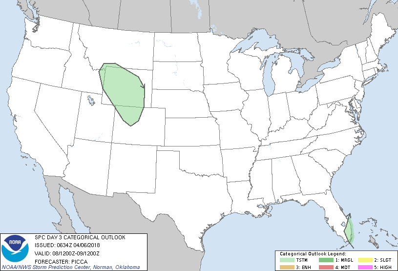
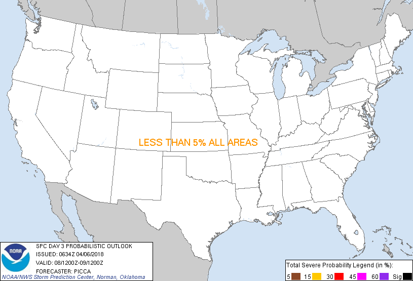
...NO SEVERE THUNDERSTORM AREAS FORECAST...
...SUMMARY...
A few thunderstorms will be possible over parts of the
central/northern Rockies and the southern Florida Peninsula Sunday.
Organized severe weather is not anticipated.
...Synopsis...
A rather progressive mid-level pattern will organize across the
contiguous US Sunday, in conjunction with relatively zonal flow
establishing over the southern Plains and Southeast. Embedded within
this flow, several weak impulses will advance off the East Coast
early in the period. The surface response will feature a front,
initially stalled over the Gulf of Mexico and Florida Peninsula
Sunday morning, making only modest northward progress through the
period. In turn, substantive destabilization will likely be confined
to portions of southern Florida, and isolated thunderstorms may
develop here during the day.
Meanwhile, embedded within northwesterly flow aloft, a weak
shortwave trough is forecast to move southeast over the
northern/central Rockies during the afternoon/evening. Associated
large-scale ascent should offer adequate moistening/cooling of mid
levels for a few thunderstorms across the region Sunday.
..Picca.. 04/06/2018
CLICK TO GET WUUS03 PTSDY3 PRODUCT
NOTE: THE NEXT DAY 3 OUTLOOK IS SCHEDULED BY 0730Z
|