Day 4-8 Severe Weather Outlook Issued on Jul 20, 2013
Updated: Sat Jul 20 07:46:03 UTC 2013
Risk
Area (sq. mi.)
Area Pop.
Some Larger Population Centers in Risk Area
No Risk Areas Forecast
D4
Tue, Jul 23, 2013 - Wed, Jul 24, 2013
D7
Fri, Jul 26, 2013 - Sat, Jul 27, 2013
D5
Wed, Jul 24, 2013 - Thu, Jul 25, 2013
D8
Sat, Jul 27, 2013 - Sun, Jul 28, 2013
D6
Thu, Jul 25, 2013 - Fri, Jul 26, 2013
(All days are valid from 12 UTC - 12 UTC the following day)
Note: A severe weather area depicted in the Day 4-8 period indicates a 30% or higher probability for severe thunderstorms within 25 miles of any point.
PREDICTABILITY TOO LOW is used to indicate severe storms may be possible based on some model scenarios. However, the location or occurrence of severe storms are in doubt due to: 1) large differences in the deterministic model solutions, 2) large spread in the ensemble guidance, and/or 3) minimal run-to-run continuity.
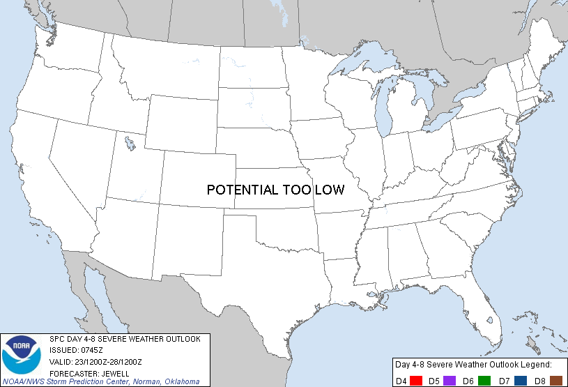
POTENTIAL TOO LOW means the threat for a regional area of organized severe storms appears highly unlikely during the entire period (e.g. less than a 30% probability for a regional severe storm area across the CONUS through the entire Day 4-8 period).
Forecast Discussion
   ZCZC SPCSWOD48 ALL
   ACUS48 KWNS 200745
   SPC AC 200745

   DAY 4-8 CONVECTIVE OUTLOOK
   NWS STORM PREDICTION CENTER NORMAN OK
   0245 AM CDT SAT JUL 20 2013

   VALID 231200Z - 281200Z

   ...DISCUSSION...
   MODELS ARE IN GOOD AGREEMENT SHOWING A MEAN TROUGH OVER THE NERN
   U.S. WITH A RIDGE OVER THE SRN ROCKIES AND PLAINS. WHILE SIGNIFICANT
   TIMING DIFFERENCES DO EXIST WITH SHORTWAVES MOVING WITHIN THE TROUGH
   FROM THE GREAT LAKES INTO THE NERN STATES THROUGH THE D4-8
   PERIOD...THIS SHOULD LARGELY BE IRRELEVANT IN TERMS OF SIGNIFICANT
   SEVERE WEATHER AS NONE OF THE POTENTIAL SYSTEMS APPEAR LIKELY TO
   PRODUCE MORE THAN ISOLATED TO SCATTERED MARGINAL SEVERE WIND OR
   HAIL.

   ONE SUCH MARGINAL SEVERE DAY COULD BE TUE/D4 ACROSS NRN NY AND NRN
   NEW ENGLAND AS THE MAIN TROUGH MOVES EWD ACROSS ONTARIO AND QUEBEC
   WITH A TRAILING COLD FRONT. HOWEVER...SOME MODELS SOLUTIONS
   INCLUDING THE ECMWF SUGGEST MOST OF THE SEVERE POTENTIAL COULD
   REMAIN N OF THE U.S. BORDER.

   OTHER STRONG DAYTIME STORMS ARE LIKELY FROM THE OH VALLEY INTO PA ON
   WED/D5 DUE TO RELATIVELY COOL TEMPERATURES ALOFT WITH A WEAK UPPER
   THERMAL TROUGH. WINDS ALOFT WILL BE WEAK AND ONLY MARGINAL HAIL OR
   WIND WILL BE POSSIBLE.

   ..JEWELL.. 07/20/2013

   CLICK TO GET WUUS48 PTSD48 PRODUCT


 @NWSSPC