Day 4-8 Severe Weather Outlook Issued on Apr 30, 2015
Updated: Thu Apr 30 08:34:03 UTC 2015
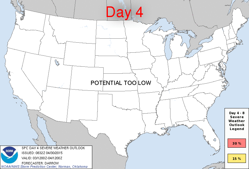
Day 4 Risk
Area (sq. mi.)
Area Pop.
Some Larger Population Centers in Risk Area
No Risk Areas Forecast
Day 5 Risk
Area (sq. mi.)
Area Pop.
Some Larger Population Centers in Risk Area
No Risk Areas Forecast
Day 6 Risk
Area (sq. mi.)
Area Pop.
Some Larger Population Centers in Risk Area
No Risk Areas Forecast
Day 7 Risk
Area (sq. mi.)
Area Pop.
Some Larger Population Centers in Risk Area
No Risk Areas Forecast
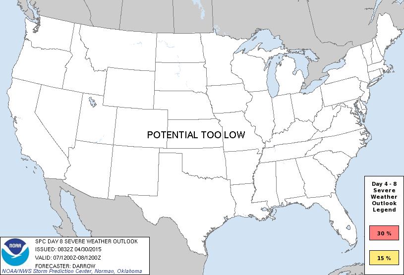
Day 8 Risk
Area (sq. mi.)
Area Pop.
Some Larger Population Centers in Risk Area
No Risk Areas Forecast
D4
Sun, May 03, 2015 - Mon, May 04, 2015
D7
Wed, May 06, 2015 - Thu, May 07, 2015
D5
Mon, May 04, 2015 - Tue, May 05, 2015
D8
Thu, May 07, 2015 - Fri, May 08, 2015
D6
Tue, May 05, 2015 - Wed, May 06, 2015
(All days are valid from 12 UTC - 12 UTC the following day)
Note: A severe weather area depicted in the Day 4-8 period indicates 15%, 30% or higher probability for severe thunderstorms within 25 miles of any point.
PREDICTABILITY TOO LOW is used to indicate severe storms may be possible based on some model scenarios. However, the location or occurrence of severe storms are in doubt due to: 1) large differences in the deterministic model solutions, 2) large spread in the ensemble guidance, and/or 3) minimal run-to-run continuity.
POTENTIAL TOO LOW means the threat for a regional area of organized severe storms appears unlikely (i.e., less than 15%) for the forecast day.
Forecast Discussion
   ZCZC SPCSWOD48 ALL
   ACUS48 KWNS 300832
   SPC AC 300832

   DAY 4-8 CONVECTIVE OUTLOOK
   NWS STORM PREDICTION CENTER NORMAN OK
   0332 AM CDT THU APR 30 2015

   VALID 031200Z - 081200Z

   ...DISCUSSION...
   SPLIT STREAM FLOW AND A GRADUAL EVOLUTION TOWARD A WRN U.S. TROUGH
   WILL BE NOTED DURING THE UPCOMING DAY4-8 TIME PERIOD.  ONE
   POTENTIALLY SIGNIFICANT LOW-LATITUDE SHORT-WAVE TROUGH WILL EJECT
   ACROSS NRN MEXICO INTO THE SRN HIGH PLAINS TUESDAY AND THIS FEATURE
   COULD INDUCE POTENTIALLY SIGNIFICANT CONVECTION ACROSS TX/OK AT THAT
   TIME.  BEYOND DAY6...BROAD TROUGHING ACROSS THE WRN U.S. COULD LEAD
   TO EPISODIC CONVECTIVE EVENTS ACROSS THE PLAINS/MS VALLEY REGION.
   HOWEVER...CONFIDENCE IN SEVERE REMAINS A BIT TOO LOW TO WARRANT AN
   OUTLOOK DURING THE LATTER PARTS OF THE EXTENDED PERIOD.

   ..DARROW.. 04/30/2015

   CLICK TO GET WUUS48 PTSD48 PRODUCT


 @NWSSPC