Day 4-8 Severe Weather Outlook Issued on Jan 1, 2018
Updated: Mon Jan 1 08:02:03 UTC 2018
Day 4 Risk
Area (sq. mi.)
Area Pop.
Some Larger Population Centers in Risk Area
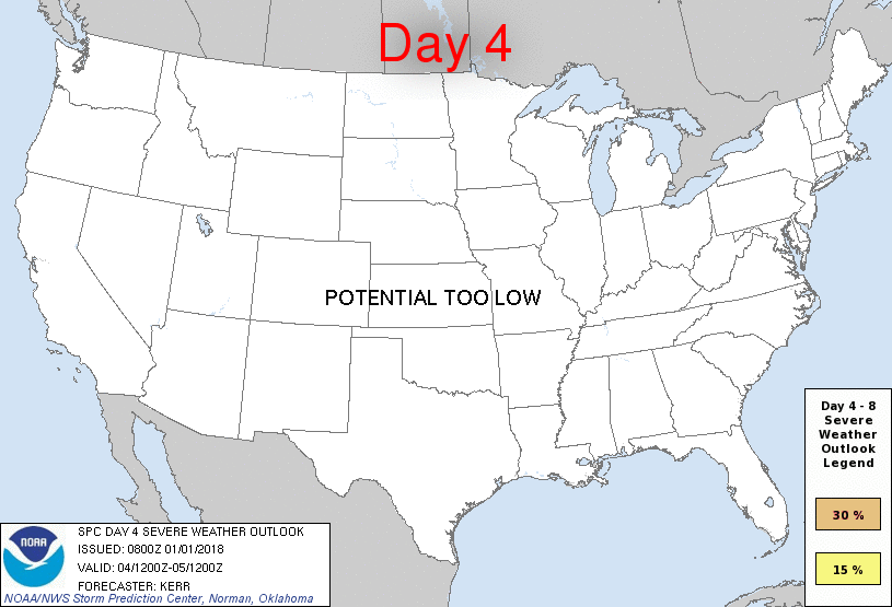
No Risk Areas Forecast
Day 5 Risk
Area (sq. mi.)
Area Pop.
Some Larger Population Centers in Risk Area
No Risk Areas Forecast
Day 6 Risk
Area (sq. mi.)
Area Pop.
Some Larger Population Centers in Risk Area
No Risk Areas Forecast
Day 7 Risk
Area (sq. mi.)
Area Pop.
Some Larger Population Centers in Risk Area
No Risk Areas Forecast
Day 8 Risk
Area (sq. mi.)
Area Pop.
Some Larger Population Centers in Risk Area
No Risk Areas Forecast
D4
Thu, Jan 04, 2018 - Fri, Jan 05, 2018
D7
Sun, Jan 07, 2018 - Mon, Jan 08, 2018
D5
Fri, Jan 05, 2018 - Sat, Jan 06, 2018
D8
Mon, Jan 08, 2018 - Tue, Jan 09, 2018
D6
Sat, Jan 06, 2018 - Sun, Jan 07, 2018
(All days are valid from 12 UTC - 12 UTC the following day)
Note: A severe weather area depicted in the Day 4-8 period indicates 15%, 30% or higher probability for severe thunderstorms within 25 miles of any point.
PREDICTABILITY TOO LOW is used to indicate severe storms may be possible based on some model scenarios. However, the location or occurrence of severe storms are in doubt due to: 1) large differences in the deterministic model solutions, 2) large spread in the ensemble guidance, and/or 3) minimal run-to-run continuity.
POTENTIAL TOO LOW means the threat for a regional area of organized severe storms appears unlikely (i.e., less than 15%) for the forecast day.
Forecast Discussion
   ZCZC SPCSWOD48 ALL
   ACUS48 KWNS 010800
   SPC AC 010800

   Day 4-8 Convective Outlook
   NWS Storm Prediction Center Norman OK
   0200 AM CST Mon Jan 01 2018

   Valid 041200Z - 091200Z

   ...DISCUSSION...
   The predictability of the large-scale mid/upper flow across the
   central and eastern Pacific into western North America appears low
   during this period.  But mean ensemble output from the medium-range
   models continues to suggest that the pattern across North America
   may trend to a less amplified regime by next weekend, with a more
   zonal belt of westerlies emerging from the mid-latitude Pacific
   becoming more influential across portions of the nation.  It appears
   that this probably will include moderating temperatures to the lee
   of the Rockies, at least across portions of the central and southern
   Plains into the Southeast, as well as the Gulf of Mexico.
   Sufficient Gulf of Mexico boundary layer modification to support a
   substantive inland return flow of moisture and appreciable
   destabilization still appears unlikely, though, through this period
   and beyond, resulting in the maintenance of low convective
   potential.

   ..Kerr.. 01/01/2018

   CLICK TO GET WUUS48 PTSD48 PRODUCT


 @NWSSPC