Day 4-8 Severe Weather Outlook Issued on Mar 6, 2018
Updated: Tue Mar 6 09:56:03 UTC 2018
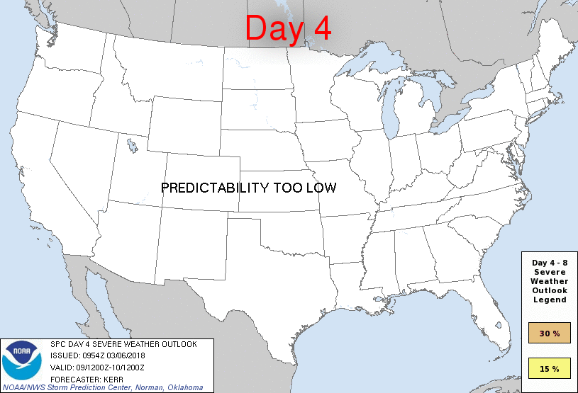
Day 4 Risk
Area (sq. mi.)
Area Pop.
Some Larger Population Centers in Risk Area
No Risk Areas Forecast
Day 5 Risk
Area (sq. mi.)
Area Pop.
Some Larger Population Centers in Risk Area
No Risk Areas Forecast
Day 6 Risk
Area (sq. mi.)
Area Pop.
Some Larger Population Centers in Risk Area
No Risk Areas Forecast
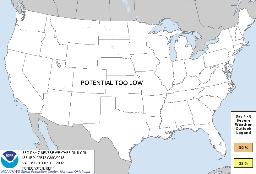
Day 7 Risk
Area (sq. mi.)
Area Pop.
Some Larger Population Centers in Risk Area
No Risk Areas Forecast
Day 8 Risk
Area (sq. mi.)
Area Pop.
Some Larger Population Centers in Risk Area
No Risk Areas Forecast
D4
Fri, Mar 09, 2018 - Sat, Mar 10, 2018
D7
Mon, Mar 12, 2018 - Tue, Mar 13, 2018
D5
Sat, Mar 10, 2018 - Sun, Mar 11, 2018
D8
Tue, Mar 13, 2018 - Wed, Mar 14, 2018
D6
Sun, Mar 11, 2018 - Mon, Mar 12, 2018
(All days are valid from 12 UTC - 12 UTC the following day)
Note: A severe weather area depicted in the Day 4-8 period indicates 15%, 30% or higher probability for severe thunderstorms within 25 miles of any point.
PREDICTABILITY TOO LOW is used to indicate severe storms may be possible based on some model scenarios. However, the location or occurrence of severe storms are in doubt due to: 1) large differences in the deterministic model solutions, 2) large spread in the ensemble guidance, and/or 3) minimal run-to-run continuity.
POTENTIAL TOO LOW means the threat for a regional area of organized severe storms appears unlikely (i.e., less than 15%) for the forecast day.
Forecast Discussion
   ZCZC SPCSWOD48 ALL
   ACUS48 KWNS 060954
   SPC AC 060954

   Day 4-8 Convective Outlook
   NWS Storm Prediction Center Norman OK
   0354 AM CST Tue Mar 06 2018

   Valid 091200Z - 141200Z

   ...DISCUSSION...
   Models suggest that a blocking upper ridge may linger near or east
   of Newfoundland and Labrador late this week into early next week, as
   the upstream pattern amplifies considerably, with large-scale
   troughing evolving just west of the Pacific coast and ridging
   building across the Rockies through the Mississippi Valley.  East of
   the ridging, it appears that one or more digging short wave
   perturbations will contribute to the maintenance of amplified
   cyclonic flow across the eastern U.S. into the western Atlantic.

   There has been considerable spread among the models and their
   respective ensemble output concerning possible cyclogenesis to the
   lee of the Rockies (generally from the southern Plains Red River
   Valley toward the upper Tennessee Valley/Cumberland Plateau) in
   association with these digging short waves, and this continues with
   the most recent runs.  Guidance does continue to indicate a possible
   rapid and substantive low-level moisture return off the western Gulf
   of Mexico toward the Ark-La-Tex region by 12Z Saturday.  The
   initiation of more amplified surface wave development would seem to
   offer greater convective potential with an associated severe weather
   risk, mainly across parts of the lower Mississippi Valley through at
   least parts of the central and eastern Gulf Coast states Saturday
   into Sunday.  However, lower amplitude wave development appears at
   least as possible, if not more plausible (at least prior to possible
   secondary cyclogenesis near/east of the south Atlantic coast late
   this weekend) given the trends in the mean upper flow evolution
   generally depicted by the GEFS and ECENS.

   Due to the apparent low pattern predictability, severe probabilities
   for Saturday and Sunday will be maintained at less than 15 percent.
   It then becomes more certain that convective potential across the
   nation will either remain low or decrease for early next week.

   ..Kerr.. 03/06/2018

   CLICK TO GET WUUS48 PTSD48 PRODUCT


 @NWSSPC