Day 4-8 Severe Weather Outlook Issued on Apr 12, 2018
Updated: Thu Apr 12 08:38:02 UTC 2018
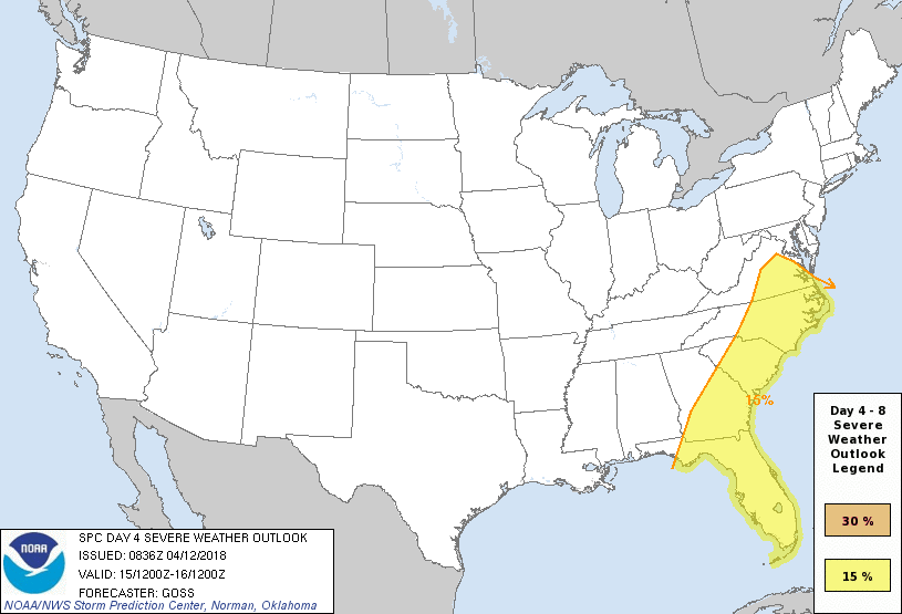
Day 4 Risk
Area (sq. mi.)
Area Pop.
Some Larger Population Centers in Risk Area
15 %
177,226
34,513,433
Jacksonville, FL...Charlotte, NC...Virginia Beach, VA...Miami, FL...Raleigh, NC...
Day 5 Risk
Area (sq. mi.)
Area Pop.
Some Larger Population Centers in Risk Area
No Risk Areas Forecast
Day 6 Risk
Area (sq. mi.)
Area Pop.
Some Larger Population Centers in Risk Area
No Risk Areas Forecast
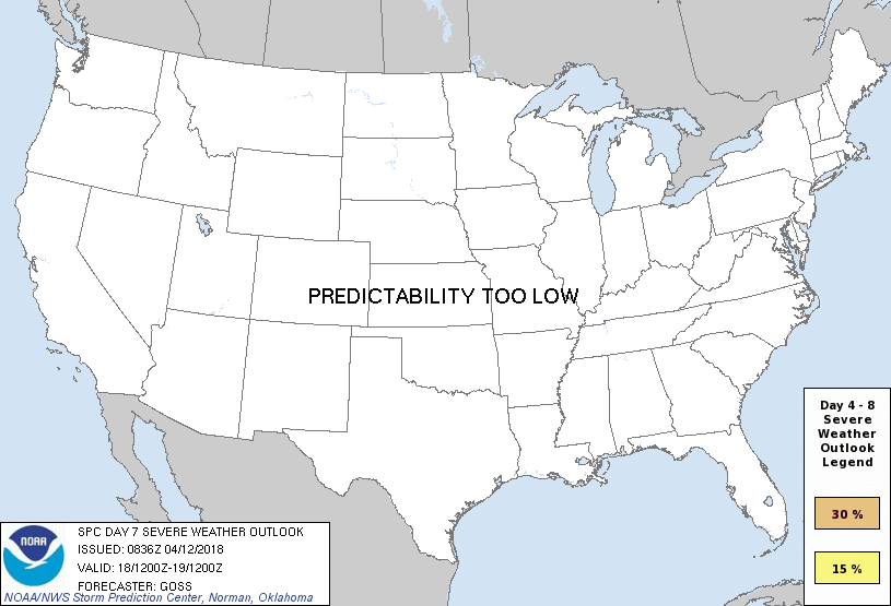
Day 7 Risk
Area (sq. mi.)
Area Pop.
Some Larger Population Centers in Risk Area
No Risk Areas Forecast
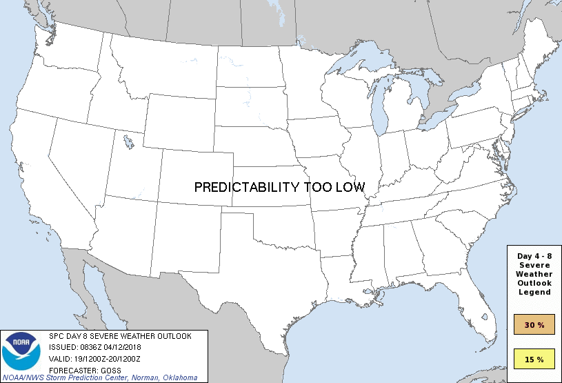
Day 8 Risk
Area (sq. mi.)
Area Pop.
Some Larger Population Centers in Risk Area
No Risk Areas Forecast
D4
Sun, Apr 15, 2018 - Mon, Apr 16, 2018
D7
Wed, Apr 18, 2018 - Thu, Apr 19, 2018
D5
Mon, Apr 16, 2018 - Tue, Apr 17, 2018
D8
Thu, Apr 19, 2018 - Fri, Apr 20, 2018
D6
Tue, Apr 17, 2018 - Wed, Apr 18, 2018
(All days are valid from 12 UTC - 12 UTC the following day)
Note: A severe weather area depicted in the Day 4-8 period indicates 15%, 30% or higher probability for severe thunderstorms within 25 miles of any point.
PREDICTABILITY TOO LOW is used to indicate severe storms may be possible based on some model scenarios. However, the location or occurrence of severe storms are in doubt due to: 1) large differences in the deterministic model solutions, 2) large spread in the ensemble guidance, and/or 3) minimal run-to-run continuity.
POTENTIAL TOO LOW means the threat for a regional area of organized severe storms appears unlikely (i.e., less than 15%) for the forecast day.
Forecast Discussion
   ZCZC SPCSWOD48 ALL
   ACUS48 KWNS 120836
   SPC AC 120836

   Day 4-8 Convective Outlook
   NWS Storm Prediction Center Norman OK
   0336 AM CDT Thu Apr 12 2018

   Valid 151200Z - 201200Z

   ...DISCUSSION...
   Latest runs of the medium-range models are exhibiting fairly
   considerable differences from one another with eastward progression
   of an eastern U.S. cold front Day 4/Sunday.  The differences in
   handling of synoptic features become even more pronounced beyond, as
   the next Pacific trough enters/crosses the U.S. in the Day 5-8 time
   frame.

   Despite the Day 4 variability in the models, it is apparent that an
   ongoing line/band of storms will progress steadily eastward across
   the Appalachians early in the day, and then continue east across the
   Atlantic Coast states.  While warm-sector instability remains a
   substantial uncertainty -- in part due to variability in the speed
   of the frontal advance toward the coast -- the kinematic environment
   will support organized convection.  As such, will introduce a 15%
   area extending from parts of Virginia south to Florida, with
   damaging wind likely to be the predominant severe risk until frontal
   convection moves offshore.

   Given the aforementioned/increasing differences amongst model
   solutions Day 5 and beyond, no assessment of severe risk can be
   offered at this time.

   ..Goss.. 04/12/2018

   CLICK TO GET WUUS48 PTSD48 PRODUCT


 @NWSSPC