Day 4-8 Severe Weather Outlook Issued on Nov 25, 2019
Updated: Mon Nov 25 09:59:02 UTC 2019
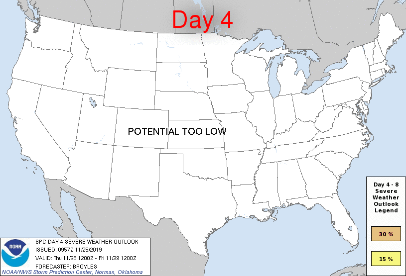
Day 4 Risk
Area (sq. mi.)
Area Pop.
Some Larger Population Centers in Risk Area
No Risk Areas Forecast
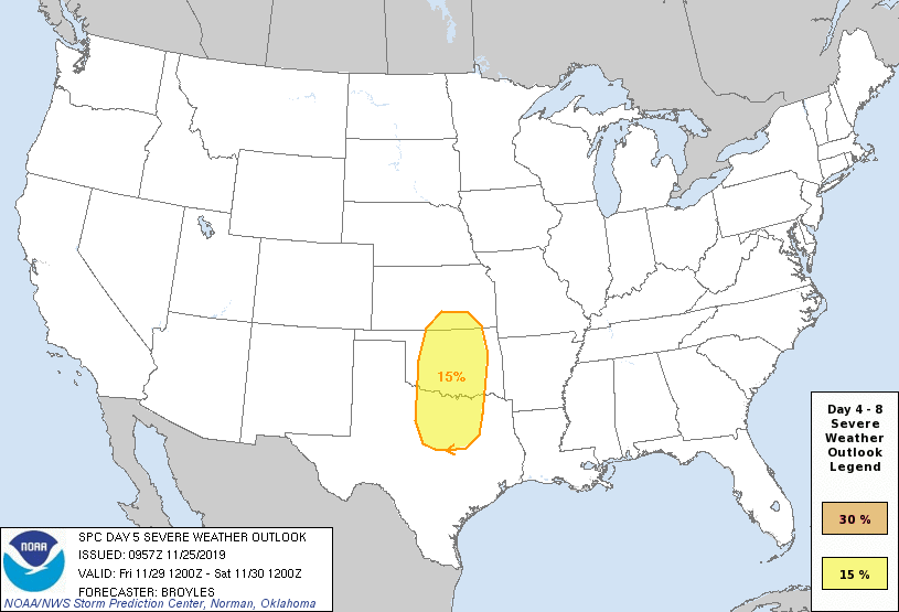
Day 5 Risk
Area (sq. mi.)
Area Pop.
Some Larger Population Centers in Risk Area
15 %
87,446
11,371,357
Dallas, TX...Fort Worth, TX...Oklahoma City, OK...Tulsa, OK...Arlington, TX...
Day 6 Risk
Area (sq. mi.)
Area Pop.
Some Larger Population Centers in Risk Area
No Risk Areas Forecast
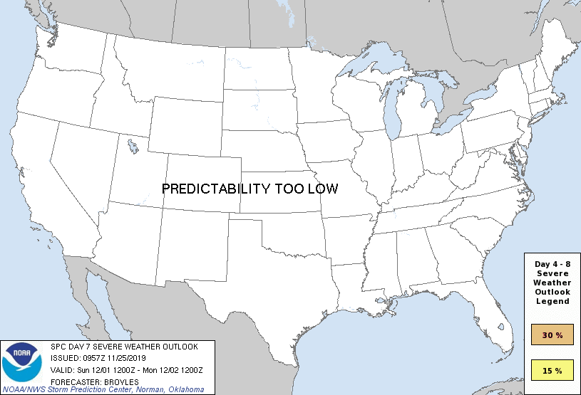
Day 7 Risk
Area (sq. mi.)
Area Pop.
Some Larger Population Centers in Risk Area
No Risk Areas Forecast
Day 8 Risk
Area (sq. mi.)
Area Pop.
Some Larger Population Centers in Risk Area
No Risk Areas Forecast
D4
Thu, Nov 28, 2019 - Fri, Nov 29, 2019
D7
Sun, Dec 01, 2019 - Mon, Dec 02, 2019
D5
Fri, Nov 29, 2019 - Sat, Nov 30, 2019
D8
Mon, Dec 02, 2019 - Tue, Dec 03, 2019
D6
Sat, Nov 30, 2019 - Sun, Dec 01, 2019
(All days are valid from 12 UTC - 12 UTC the following day)
Note: A severe weather area depicted in the Day 4-8 period indicates 15%, 30% or higher probability for severe thunderstorms within 25 miles of any point.
PREDICTABILITY TOO LOW is used to indicate severe storms may be possible based on some model scenarios. However, the location or occurrence of severe storms are in doubt due to: 1) large differences in the deterministic model solutions, 2) large spread in the ensemble guidance, and/or 3) minimal run-to-run continuity.
POTENTIAL TOO LOW means the threat for a regional area of organized severe storms appears unlikely (i.e., less than 15%) for the forecast day.
Forecast Discussion
   ZCZC SPCSWOD48 ALL
   ACUS48 KWNS 250957
   SPC AC 250957

   Day 4-8 Convective Outlook
   NWS Storm Prediction Center Norman OK
   0357 AM CST Mon Nov 25 2019

   Valid 281200Z - 031200Z

   ...DISCUSSION...
   ...Thursday/Day 4 and Friday/Day 5...
   The medium-range models are in good agreement on Thursday with an
   upper-level ridge in the eastern U.S. and an upper-level low on the
   West Coast. On Friday, the models move the associated upper-level
   trough quickly eastward across the Desert Southwest as a powerful 90
   to 110 kt mid-level jet moves into the southern High Plains. In
   response, strong moisture advection will take place in the southern
   Plains with 60s F surface dewpoints streaming northward into north
   Texas and Oklahoma. By Friday afternoon, an axis of moderate
   instability is forecast to develop from the Texas Hill Country
   northward to near the Oklahoma-Kansas state line. Thunderstorms
   should develop along the dryline and move quickly northeastward
   across the southern Plains during the late afternoon and early
   evening. A severe threat appears probable with this activity. The
   strong deep-layer shear should support supercell development. A
   potential for all hazard types will exist with tornadoes, large hail
   and wind damage possible. The models are in much better agreement
   this cycle. A 15 percent contour has been added for the Day 5 period
   to account for the anticipated severe threat.

   ...Saturday/Day 6 to Monday/Day 8...
   On Saturday, the upper-level low should move eastward through the
   north-central U.S. as a cold front advances quickly southeastward in
   the western Gulf Coast states. A severe threat may develop along
   parts of the front Saturday mainly in the lower to mid Mississippi
   Valley. On Sunday and Monday, the upper-level trough is forecast to
   move quickly eastward across the eastern U.S. and into the western
   Atlantic. Thunderstorms will be possible along and ahead of a front
   as it moves eastward to the Atlantic Seaboard by Sunday evening. A
   marginal severe threat can not be ruled out along parts of the front
   that can become weakly unstable.

   ..Broyles.. 11/25/2019

   CLICK TO GET WUUS48 PTSD48 PRODUCT


 @NWSSPC