Day 4-8 Severe Weather Outlook Issued on Jul 21, 2021
Updated: Wed Jul 21 08:49:03 UTC 2021
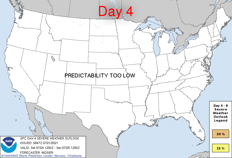
Day 4 Risk
Area (sq. mi.)
Area Pop.
Some Larger Population Centers in Risk Area
No Risk Areas Forecast
Day 5 Risk
Area (sq. mi.)
Area Pop.
Some Larger Population Centers in Risk Area
No Risk Areas Forecast
Day 6 Risk
Area (sq. mi.)
Area Pop.
Some Larger Population Centers in Risk Area
No Risk Areas Forecast
Day 7 Risk
Area (sq. mi.)
Area Pop.
Some Larger Population Centers in Risk Area
No Risk Areas Forecast
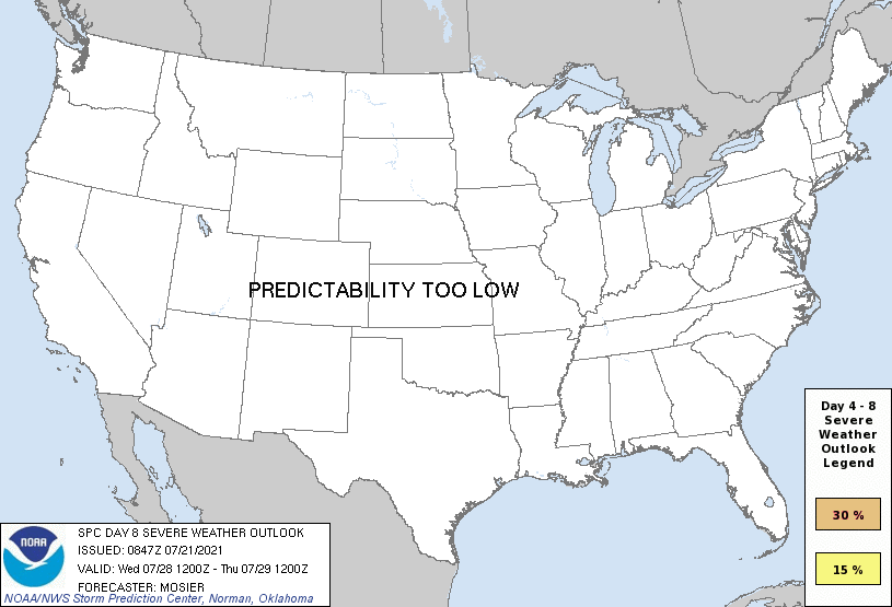
Day 8 Risk
Area (sq. mi.)
Area Pop.
Some Larger Population Centers in Risk Area
No Risk Areas Forecast
D4
Sat, Jul 24, 2021 - Sun, Jul 25, 2021
D7
Tue, Jul 27, 2021 - Wed, Jul 28, 2021
D5
Sun, Jul 25, 2021 - Mon, Jul 26, 2021
D8
Wed, Jul 28, 2021 - Thu, Jul 29, 2021
D6
Mon, Jul 26, 2021 - Tue, Jul 27, 2021
(All days are valid from 12 UTC - 12 UTC the following day)
Note: A severe weather area depicted in the Day 4-8 period indicates 15%, 30% or higher probability for severe thunderstorms within 25 miles of any point.
PREDICTABILITY TOO LOW is used to indicate severe storms may be possible based on some model scenarios. However, the location or occurrence of severe storms are in doubt due to: 1) large differences in the deterministic model solutions, 2) large spread in the ensemble guidance, and/or 3) minimal run-to-run continuity.
POTENTIAL TOO LOW means the threat for a regional area of organized severe storms appears unlikely (i.e., less than 15%) for the forecast day.
Forecast Discussion
   ZCZC SPCSWOD48 ALL
   ACUS48 KWNS 210847
   SPC AC 210847

   Day 4-8 Convective Outlook
   NWS Storm Prediction Center Norman OK
   0347 AM CDT Wed Jul 21 2021

   Valid 241200Z - 291200Z

   ...DISCUSSION...
   Recent medium-range guidance is in good agreement that upper
   ridging will persist across the 2/3rds of CONUS throughout the
   extended period into at least the middle of next week.
   Weak flow aloft will accompany this ridging, resulting in limited
   potential for severe storms across the majority of the CONUS.

   A belt of westerly flow is expected to remain in place around the
   northern periphery of the upper ridge, extending from the Pacific
   Northwest through the Great Lakes and Northeast. A series of
   shortwave troughs will likely progress through this westerly flow,
   resulting in at least some potential for severe thunderstorms if
   enough low-level moisture precedes the shortwaves. Low
   predictability precludes introducing any severe probabilities with
   this outlook, but some elevated severe potential currently appears
   to be across the Upper Great Lakes on D4/Saturday, and the Northeast
   on D5/Sunday.

   ..Mosier.. 07/21/2021

   CLICK TO GET WUUS48 PTSD48 PRODUCT


 @NWSSPC