Day 4-8 Severe Weather Outlook Issued on May 5, 2022
Updated: Thu May 5 08:56:03 UTC 2022
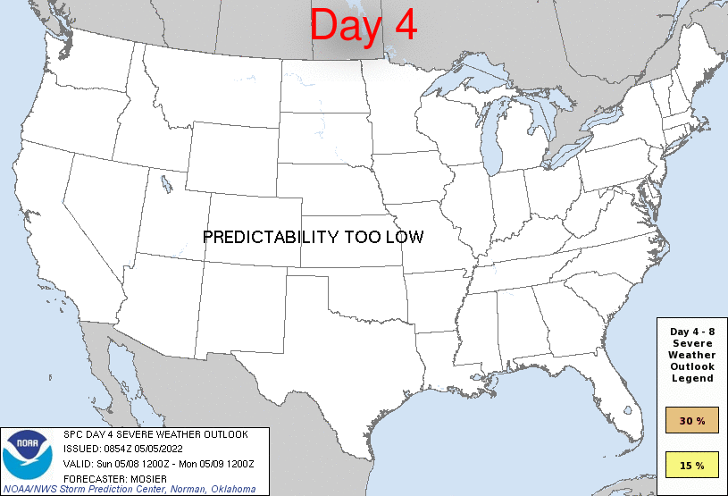
Day 4 Risk
Area (sq. mi.)
Area Pop.
Some Larger Population Centers in Risk Area
No Risk Areas Forecast
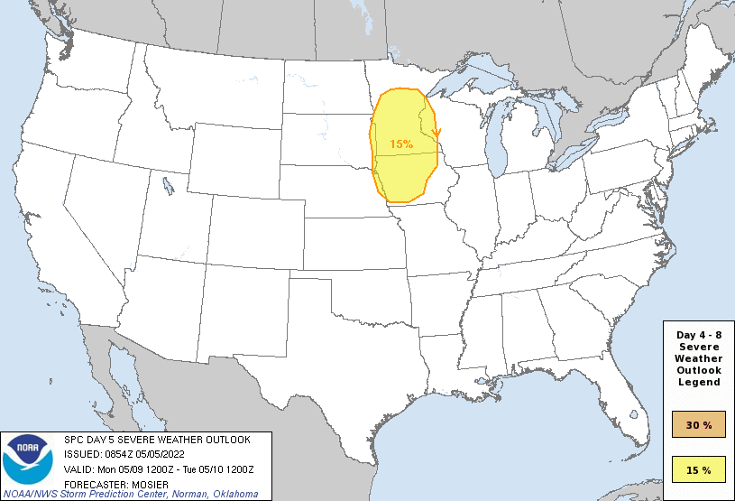
Day 5 Risk
Area (sq. mi.)
Area Pop.
Some Larger Population Centers in Risk Area
15 %
99,355
7,556,733
Omaha, NE...Minneapolis, MN...St. Paul, MN...Des Moines, IA...Sioux Falls, SD...
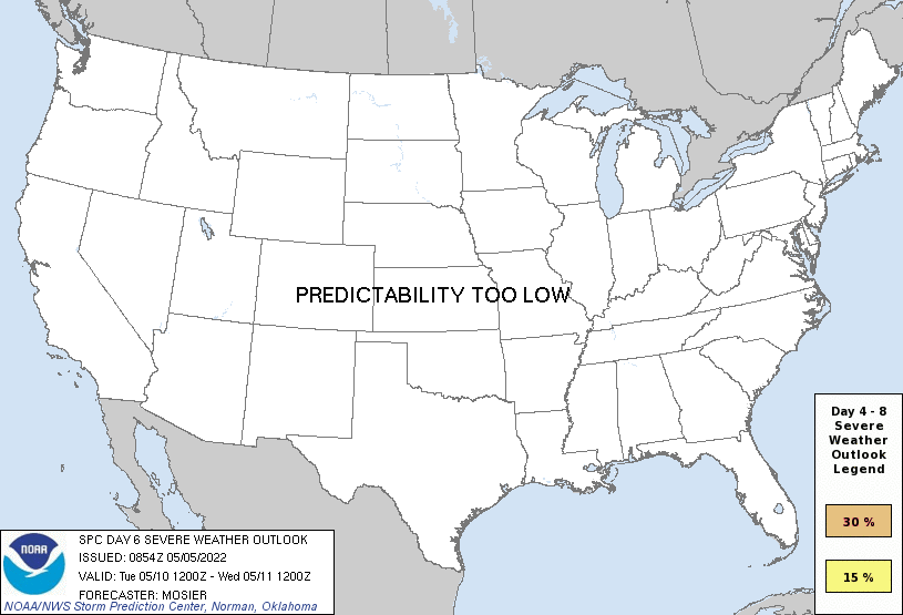
Day 6 Risk
Area (sq. mi.)
Area Pop.
Some Larger Population Centers in Risk Area
No Risk Areas Forecast
Day 7 Risk
Area (sq. mi.)
Area Pop.
Some Larger Population Centers in Risk Area
No Risk Areas Forecast
Day 8 Risk
Area (sq. mi.)
Area Pop.
Some Larger Population Centers in Risk Area
No Risk Areas Forecast
D4
Sun, May 08, 2022 - Mon, May 09, 2022
D7
Wed, May 11, 2022 - Thu, May 12, 2022
D5
Mon, May 09, 2022 - Tue, May 10, 2022
D8
Thu, May 12, 2022 - Fri, May 13, 2022
D6
Tue, May 10, 2022 - Wed, May 11, 2022
(All days are valid from 12 UTC - 12 UTC the following day)
Note: A severe weather area depicted in the Day 4-8 period indicates 15%, 30% or higher probability for severe thunderstorms within 25 miles of any point.
PREDICTABILITY TOO LOW is used to indicate severe storms may be possible based on some model scenarios. However, the location or occurrence of severe storms are in doubt due to: 1) large differences in the deterministic model solutions, 2) large spread in the ensemble guidance, and/or 3) minimal run-to-run continuity.
POTENTIAL TOO LOW means the threat for a regional area of organized severe storms appears unlikely (i.e., less than 15%) for the forecast day.
Forecast Discussion
   ZCZC SPCSWOD48 ALL
   ACUS48 KWNS 050854
   SPC AC 050854

   Day 4-8 Convective Outlook
   NWS Storm Prediction Center Norman OK
   0354 AM CDT Thu May 05 2022

   Valid 081200Z - 131200Z

   ...DISCUSSION...
   Medium-range guidance is in good agreement that the overall upper
   pattern amplifies significantly on D4/Sunday and D5/Monday as
   western CONUS troughing deepens and upper ridging along the MS
   Valley builds. Position of the upper trough leads to deep
   southwesterly flow aloft across the Plains. At the same time, strong
   moisture advection will occur, with mid 60s dewpoints reaching
   eastern KS by D4/Sunday and into much of IA by D5/Monday. By
   D6/Tuesday, a large area of 70+ dewpoints may exist from the
   Arklatex north into IA.

   This low-level moisture, coupled with the EML fostered by the deep
   southwesterly flow aloft, is forecast to result in strong
   instability across at least some portion of the Plains and/or
   Upper/Mid MS Valley from D4/Sunday through at least D6/Tuesday. The
   somewhat stagnant upper pattern and lack of progressive surface
   features leads to dearth of forcing for ascent for D4/Sunday,
   leading to predictability issues. Some elevated thunderstorms are
   possible across the northern Plains, but uncertainty on location and
   overall severity merit precluding any outlook areas. Somewhat more
   discernible/predictable surface features are expected on D5/Monday,
   with a front moving into the upper MS Valley. Given the forecast
   buoyancy and shear, any storms that do develop will likely be
   severe.

   Some severe potential may persist across the Upper/Mid MS Valley on
   D6/Tuesday, but guidance varies crucially on the position of various
   surface features, limiting predictability. Additionally, guidance
   indicates that upper ridging will build west across more of the
   Plains on D6/Tuesday and D7/Wednesday, likely shifting the potential
   for storms back west towards the High Plains.

   ..Mosier.. 05/05/2022

   CLICK TO GET WUUS48 PTSD48 PRODUCT


 @NWSSPC