Day 4-8 Severe Weather Outlook Issued on May 8, 2022
Updated: Sun May 8 09:02:03 UTC 2022
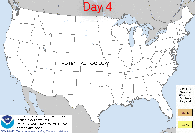
Day 4 Risk
Area (sq. mi.)
Area Pop.
Some Larger Population Centers in Risk Area
No Risk Areas Forecast
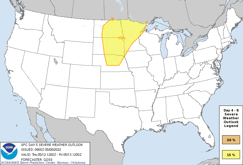
Day 5 Risk
Area (sq. mi.)
Area Pop.
Some Larger Population Centers in Risk Area
15 %
190,711
2,845,056
Sioux Falls, SD...Fargo, ND...Duluth, MN...St. Cloud, MN...Bismarck, ND...
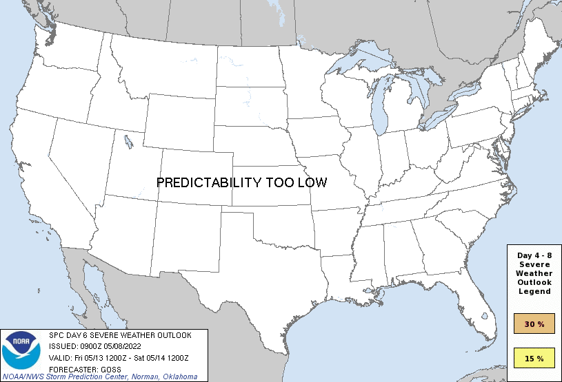
Day 6 Risk
Area (sq. mi.)
Area Pop.
Some Larger Population Centers in Risk Area
No Risk Areas Forecast
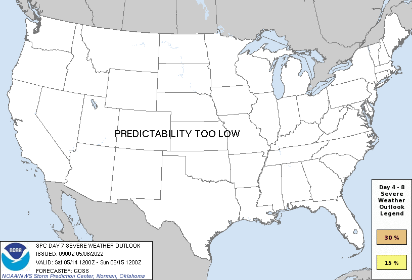
Day 7 Risk
Area (sq. mi.)
Area Pop.
Some Larger Population Centers in Risk Area
No Risk Areas Forecast
Day 8 Risk
Area (sq. mi.)
Area Pop.
Some Larger Population Centers in Risk Area
No Risk Areas Forecast
D4
Wed, May 11, 2022 - Thu, May 12, 2022
D7
Sat, May 14, 2022 - Sun, May 15, 2022
D5
Thu, May 12, 2022 - Fri, May 13, 2022
D8
Sun, May 15, 2022 - Mon, May 16, 2022
D6
Fri, May 13, 2022 - Sat, May 14, 2022
(All days are valid from 12 UTC - 12 UTC the following day)
Note: A severe weather area depicted in the Day 4-8 period indicates 15%, 30% or higher probability for severe thunderstorms within 25 miles of any point.
PREDICTABILITY TOO LOW is used to indicate severe storms may be possible based on some model scenarios. However, the location or occurrence of severe storms are in doubt due to: 1) large differences in the deterministic model solutions, 2) large spread in the ensemble guidance, and/or 3) minimal run-to-run continuity.
POTENTIAL TOO LOW means the threat for a regional area of organized severe storms appears unlikely (i.e., less than 15%) for the forecast day.
Forecast Discussion
   ZCZC SPCSWOD48 ALL
   ACUS48 KWNS 080900
   SPC AC 080900

   Day 4-8 Convective Outlook
   NWS Storm Prediction Center Norman OK
   0400 AM CDT Sun May 08 2022

   Valid 111200Z - 161200Z

   ...DISCUSSION...
   The medium-range period appears likely to be characterized overall
   by the eastward advance of a formerly quasi-stationary trough over
   the West.  Global models are in reasonable agreement through the
   middle stages of the period, before more substantial differences in
   solutions emerge late in the period.

   On Day 4/Wednesday, the trough is progged to begin its initial
   eastward advance, though is expected to remain over the
   Intermountain West while ridging persists over the Plains and
   Midwest.  Some severe weather will be possible over the
   north-central U.S., but likely elevated/north of a warm front for
   the most part.  Limited severe risk may also occur across western
   portions of the central and southern Plains, as the onset of weak
   height falls begins.  However, confidence remains too low in either
   of these areas to introduce a 15% area at this time.

   Severe risk becomes more apparent Day 5/Thursday, across the
   north-central CONUS.  As the western U.S. trough shifts
   northeastward across the central High Plains toward the northern
   Plains into the afternoon, models indicate the feature acquiring
   negative tilt with time -- supporting fairly substantial northern
   Plains cyclogenesis.  Models differ with strength of the upper
   system, and as such, location of the surface low and associated warm
   and cold frontal progression.  Still, confidence is high enough to
   include a broad 15% risk area to cover what appears at this time to
   be the envelope of greatest risk.  Given several days of low-level
   moist advection beneath steep lapse rates aloft, and the increase in
   deep-layer flow that will accompany the advance of the upper system,
   potential for supercells -- and an all-hazards severe risk -- seems
   a reasonable bet from afternoon into the overnight hours.

   Some severe weather will likely continue Day 6/Friday, however the
   upper system is forecast to shift northward into the Canadian
   Prairie, with some weakening of the trailing front which should
   stretch from the Upper Mississippi Valley into to Oklahoma/Texas.
   Uncertainty regarding frontal strength/location, partially affected
   by lingering convective effects/outflow, precludes any areal
   highlights for Day 6 at this time.

   Uncertainty increases for Day 7/Saturday, as models forecast that a
   short-wave trough will rotate southeastward out of Canada and across
   the Plains on the southern periphery of the initial low/trough still
   shifting northward across the Prairie provinces.  The
   location/progression of this short-wave feature varies according to
   different model solutions,  and therefore similar variance exists
   with surface boundary position.  While some severe risk will likely
   evolve within a broad zone that extends roughly along the
   Mississippi Valley, too much uncertainty is evident to highlight a
   risk area at this time.

   Finally, model differences which increase through Day 7 into Day
   8/Sunday, with predictability too low to allow a reasonable
   assessment of convective potential.

   ..Goss.. 05/08/2022

   CLICK TO GET WUUS48 PTSD48 PRODUCT


 @NWSSPC