Day 4-8 Severe Weather Outlook Issued on May 17, 2023
Updated: Wed May 17 09:43:02 UTC 2023
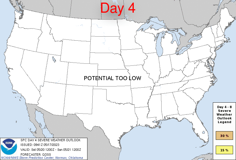
Day 4 Risk
Area (sq. mi.)
Area Pop.
Some Larger Population Centers in Risk Area
No Risk Areas Forecast
Day 5 Risk
Area (sq. mi.)
Area Pop.
Some Larger Population Centers in Risk Area
No Risk Areas Forecast
Day 6 Risk
Area (sq. mi.)
Area Pop.
Some Larger Population Centers in Risk Area
No Risk Areas Forecast
Day 7 Risk
Area (sq. mi.)
Area Pop.
Some Larger Population Centers in Risk Area
No Risk Areas Forecast
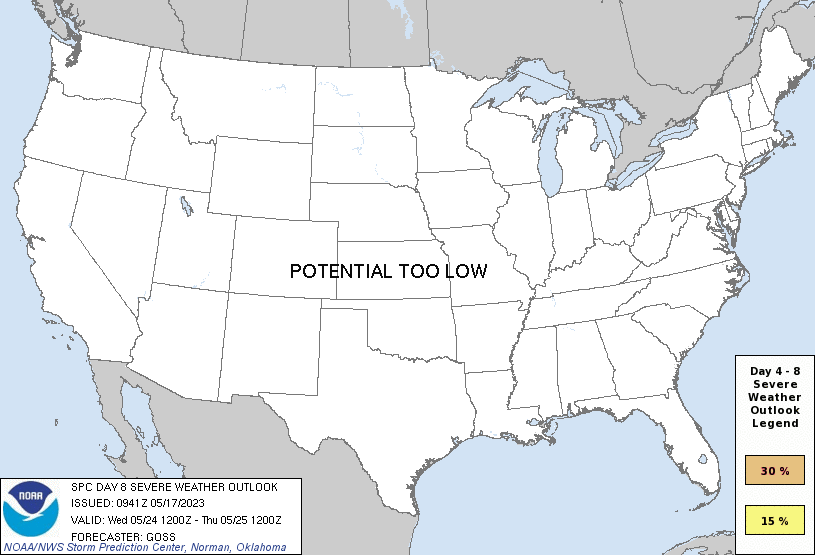
Day 8 Risk
Area (sq. mi.)
Area Pop.
Some Larger Population Centers in Risk Area
No Risk Areas Forecast
D4
Sat, May 20, 2023 - Sun, May 21, 2023
D7
Tue, May 23, 2023 - Wed, May 24, 2023
D5
Sun, May 21, 2023 - Mon, May 22, 2023
D8
Wed, May 24, 2023 - Thu, May 25, 2023
D6
Mon, May 22, 2023 - Tue, May 23, 2023
(All days are valid from 12 UTC - 12 UTC the following day)
Note: A severe weather area depicted in the Day 4-8 period indicates 15%, 30% or higher probability for severe thunderstorms within 25 miles of any point.
PREDICTABILITY TOO LOW is used to indicate severe storms may be possible based on some model scenarios. However, the location or occurrence of severe storms are in doubt due to: 1) large differences in the deterministic model solutions, 2) large spread in the ensemble guidance, and/or 3) minimal run-to-run continuity.
POTENTIAL TOO LOW means the threat for a regional area of organized severe storms appears unlikely (i.e., less than 15%) for the forecast day.
Forecast Discussion
   ZCZC SPCSWOD48 ALL
   ACUS48 KWNS 170941
   SPC AC 170941

   Day 4-8 Convective Outlook
   NWS Storm Prediction Center Norman OK
   0441 AM CDT Wed May 17 2023

   Valid 201200Z - 251200Z

   ...DISCUSSION...
   Medium-range models appear to be in reasonably good large-scale
   agreement on the general upper flow pattern over the U.S. through
   Day 6.  Beyond this time, though model differences increase, it
   nonetheless appears that large-scale/organized severe weather
   potential will be low through the end of the period.

   In the shorter term, limited severe risk will likely exist from
   portions of Texas eastward across the Gulf Coast states and Georgia
   day 4 (Saturday), as a cold front continues to sag southward toward
   the Gulf of Mexico.  At this time however, both instability and
   shear appear likely to remain somewhat limited, which suggests that
   stronger storms should remain isolated.  Once this front reaches the
   northern Gulf Day 5, surface high pressure is forecast to expand
   southeastward across the central and eastern U.S., and likely remain
   there through the end of the period.  As such, overall severe risk
   should remain limited through the period.

   ..Goss.. 05/17/2023

   CLICK TO GET WUUS48 PTSD48 PRODUCT


 @NWSSPC