Day 4-8 Severe Weather Outlook Issued on May 21, 2023
Updated: Sun May 21 08:57:02 UTC 2023
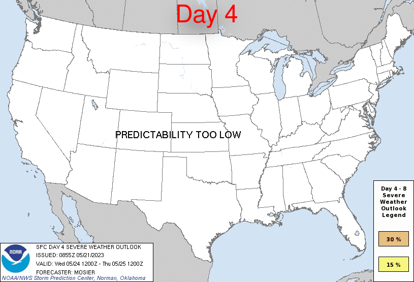
Day 4 Risk
Area (sq. mi.)
Area Pop.
Some Larger Population Centers in Risk Area
No Risk Areas Forecast
Day 5 Risk
Area (sq. mi.)
Area Pop.
Some Larger Population Centers in Risk Area
No Risk Areas Forecast
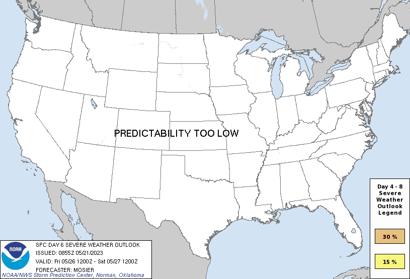
Day 6 Risk
Area (sq. mi.)
Area Pop.
Some Larger Population Centers in Risk Area
No Risk Areas Forecast
Day 7 Risk
Area (sq. mi.)
Area Pop.
Some Larger Population Centers in Risk Area
No Risk Areas Forecast
Day 8 Risk
Area (sq. mi.)
Area Pop.
Some Larger Population Centers in Risk Area
No Risk Areas Forecast
D4
Wed, May 24, 2023 - Thu, May 25, 2023
D7
Sat, May 27, 2023 - Sun, May 28, 2023
D5
Thu, May 25, 2023 - Fri, May 26, 2023
D8
Sun, May 28, 2023 - Mon, May 29, 2023
D6
Fri, May 26, 2023 - Sat, May 27, 2023
(All days are valid from 12 UTC - 12 UTC the following day)
Note: A severe weather area depicted in the Day 4-8 period indicates 15%, 30% or higher probability for severe thunderstorms within 25 miles of any point.
PREDICTABILITY TOO LOW is used to indicate severe storms may be possible based on some model scenarios. However, the location or occurrence of severe storms are in doubt due to: 1) large differences in the deterministic model solutions, 2) large spread in the ensemble guidance, and/or 3) minimal run-to-run continuity.
POTENTIAL TOO LOW means the threat for a regional area of organized severe storms appears unlikely (i.e., less than 15%) for the forecast day.
Forecast Discussion
   ZCZC SPCSWOD48 ALL
   ACUS48 KWNS 210855
   SPC AC 210855

   Day 4-8 Convective Outlook
   NWS Storm Prediction Center Norman OK
   0355 AM CDT Sun May 21 2023

   Valid 241200Z - 291200Z

   ...DISCUSSION...
   Medium-range guidance is in good agreement that upper ridging will
   persist across the central CONUS throughout the week before a
   southern-stream shortwave trough moves through the southern High
   Plains and southern/central Plains next weekend. The relatively
   stagnant upper pattern during the week will likely result in a
   repeated scenario of initiation over the higher terrain of the
   southern Rockies and along any surface boundaries over the central
   and southern High Plains. Some severe may accompany these storms
   each day, but the predictability of their location and coverage is
   low at this forecast range.

   As previously mentioned, a southern-stream shortwave trough may move
   through the southern High Plains on D7/Saturday, resulting in a more
   widespread severe threat. Even so, model run-to-run consistency is
   low and forecast confidence remains too low to introduce any outlook
   areas at this time.

   ..Mosier.. 05/21/2023

   CLICK TO GET WUUS48 PTSD48 PRODUCT


 @NWSSPC