
Day 3 Probabilistic Fire Weather Outlooks:
Probability of dry thunderstorms with dry fuels within 12 miles of a point denoted by scalloped lines for
- Critical Area - 40% (blue)
- Marginal Area - 10% (brown)
Probability of strong winds, low RH, and warm temperatures concurrent for at least 3 hours with dry fuels within 12 miles of a point denoted by solid lines for
- Critical Area - 70% (red)
- Marginal Area - 40% (orange)

Day 4 Probabilistic Fire Weather Outlooks:
Probability of dry thunderstorms with dry fuels within 12 miles of a point denoted by scalloped lines for
- Critical Area - 40% (blue)
- Marginal Area - 10% (brown)
Probability of strong winds, low RH, and warm temperatures concurrent for at least 3 hours with dry fuels within 12 miles of a point denoted by solid lines for
- Critical Area - 70% (red)
- Marginal Area - 40% (orange)

Day 5 Probabilistic Fire Weather Outlooks:
Probability of dry thunderstorms with dry fuels within 12 miles of a point denoted by scalloped lines for
- Critical Area - 40% (blue)
- Marginal Area - 10% (brown)
Probability of strong winds, low RH, and warm temperatures concurrent for at least 3 hours with dry fuels within 12 miles of a point denoted by solid lines for
- Critical Area - 70% (red)
- Marginal Area - 40% (orange)

Day 6 Probabilistic Fire Weather Outlooks:
Probability of dry thunderstorms with dry fuels within 12 miles of a point denoted by scalloped lines for
- Critical Area - 40% (blue)
- Marginal Area - 10% (brown)
Probability of strong winds, low RH, and warm temperatures concurrent for at least 3 hours with dry fuels within 12 miles of a point denoted by solid lines for
- Critical Area - 70% (red)
- Marginal Area - 40% (orange)

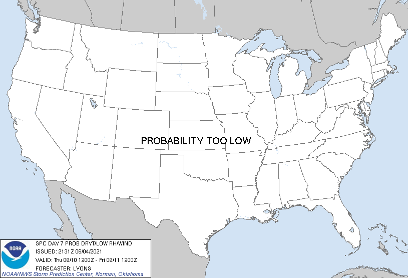
Day 7 Probabilistic Fire Weather Outlooks:
Probability of dry thunderstorms with dry fuels within 12 miles of a point denoted by scalloped lines for
- Critical Area - 40% (blue)
- Marginal Area - 10% (brown)
Probability of strong winds, low RH, and warm temperatures concurrent for at least 3 hours with dry fuels within 12 miles of a point denoted by solid lines for
- Critical Area - 70% (red)
- Marginal Area - 40% (orange)

Day 8 Probabilistic Fire Weather Outlooks:
Probability of dry thunderstorms with dry fuels within 12 miles of a point denoted by scalloped lines for
- Critical Area - 40% (blue)
- Marginal Area - 10% (brown)
Probability of strong winds, low RH, and warm temperatures concurrent for at least 3 hours with dry fuels within 12 miles of a point denoted by solid lines for
- Critical Area - 70% (red)
- Marginal Area - 40% (orange)
|
| D3 | Sun, Jun 06, 2021 - Mon, Jun 07, 2021 | D6 | Wed, Jun 09, 2021 - Thu, Jun 10, 2021 |
| D4 | Mon, Jun 07, 2021 - Tue, Jun 08, 2021 | D7 | Thu, Jun 10, 2021 - Fri, Jun 11, 2021 |
| D5 | Tue, Jun 08, 2021 - Wed, Jun 09, 2021 | D8 | Fri, Jun 11, 2021 - Sat, Jun 12, 2021 |
| (All days are valid from 12 UTC - 12 UTC) | |||
   ZCZC SPCFWDD38 ALL
   FNUS28 KWNS 042131

   Day 3-8 Fire Weather Outlook
   NWS Storm Prediction Center Norman OK
   0431 PM CDT Fri Jun 04 2021

   Valid 061200Z - 121200Z

   An amplifying West Coast trough will drive southwesterly flow aloft
   across much of the western US beginning late this weekend and
   continuing through next week. At the surface, low pressure across
   the Great Basin will bring warm and dry air into portions of the
   Southwest while helping to increase low-level wind fields. Warm,
   dry, and breezy surface conditions will likely support widespread
   elevated/critical fire weather conditions through the extended
   forecast period.

   ...Great Basin...
   Ahead of stronger southwesterly flow aloft, elevated and critical
   fire weather conditions will be likely across portions of Nevada,
   Idaho, Oregon and Utah Day3/Sunday through much of next week. A very
   dry airmass with widespread surface RH below 15% will likely exist
   across an area where fuels are already significantly cured. Deep
   mixing from warm temperatures and increasing mid-level flow ahead of
   the trough will support surface winds of 20-30 mph. Widespread
   critical fire weather conditions appear likely. Additional expansion
   of critical probabilities in future outlooks is also likely as the
   warm and dry arimass works to desiccate the already drier than
   average fuel load across much of the Great Basin.

   ...Southwest...
   On the fringes of the western US trough, low-level westerly winds
   will respond to a deepening surface low across the southern Great
   Basin late this weekend and into early next week. Model soundings
   show a very warm and dry airmass with temperatures in the 90s F and
   RH of 7-15%. While some uncertainty on the coverage of critical
   winds exists, elevated/near-critical fire weather conditions appear
   possible across southeastern Arizona and southwestern New Mexico
   Day3/Sunday. Elevated/critical conditions may linger through early
   next week, but uncertainty on the coverage of critical wind/RH will
   preclude additional probabilities.

   ...Northwest and Northern Rockies...
   As the mid-level jet continues to descend across the western US,
   lingering dry westerly flow may support locally elevated/critical
   fire weather conditions in the lee of the Cascades. To the east
   across Montana and North Dakota, significant model differences
   remain regarding to the coverage of precipitation and the resulting
   fire potential. The ECMWF remains an outlier showing mostly dry
   conditions and suggesting a greater overall threat for fire weather
   across northeastern Montana and northern North Dakota. At least some
   potential for fire weather conditions may exist early next week
   across Montana and North Dakota if precipitation coverage is lower
   than currently forecast.

   ..Lyons.. 06/04/2021

   ...Please see www.spc.noaa.gov/fire for graphic product...

   $$

   CLICK TO GET FNUS38 KWNS PFWF38 FIRE WEATHER OUTLOOK DAY 3-8 AREAL OUTLINE PRODUCT