Storm Prediction Center Day 1 Fire Weather Outlook
Created: Thu Jan 4 15:57:02 UTC 2018 (
![]() |
| ![]() )
)
| |||||||||
Click for Day 1 FireWX Areal Outline Product
ZCZC SPCFWDDY1 ALL
FNUS21 KWNS 041555
Day 1 Fire Weather Outlook
NWS Storm Prediction Center Norman OK
0955 AM CST Thu Jan 04 2018
Valid 041700Z - 051200Z
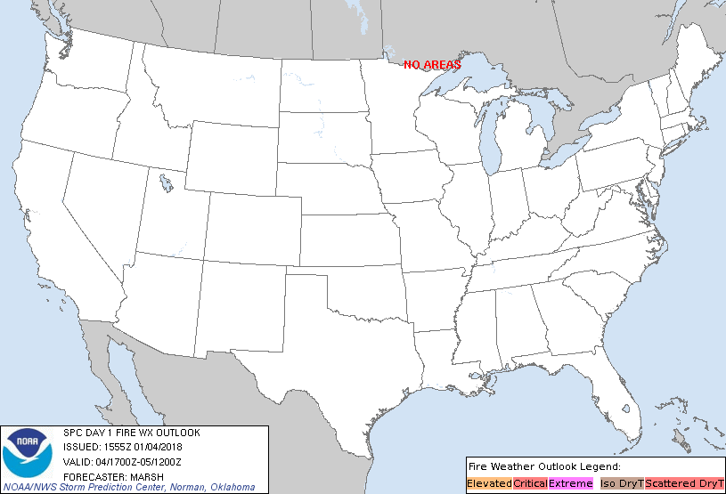
...NO CRITICAL AREAS...
The previous forecast remains on track. No changes have been made.
..Marsh.. 01/04/2018
.PREV DISCUSSION... /ISSUED 1254 AM CST Thu Jan 04 2018/
...Synopsis...
The overall synoptic pattern will be characterized by a persistent
longwave trough over the East and mid/upper ridging over the
Intermountain West. A mid-level disturbance initially just west of
the central California coast will migrate inland and weaken
throughout the forecast period as well.
At the surface, cold temperatures will continue across much of the
central and eastern CONUS in response to an expansive area of high
pressure along the Mississippi River Valley and a strengthening low
just off the East Coast. Meanwhile, weak onshore flow will persist
in California.
The overall pattern suggests that large-scale fire weather
conditions will be minimal throughout the forecast period. No areas
are highlighted in the outlook for this reason.
...Please see www.spc.noaa.gov/fire for graphic product...