|
| Mesoscale Discussion 361 |
|
< Previous MD Next MD >
|
|
Mesoscale Discussion 0361
NWS Storm Prediction Center Norman OK
0559 PM CDT Wed Mar 30 2022
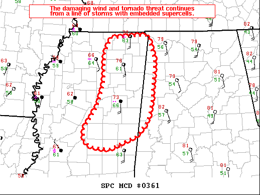
Areas affected...Eastern/northeastern Mississippi and far western
Alabama.
Concerning...Tornado Watch 77...80...
Valid 302259Z - 310030Z
The severe weather threat for Tornado Watch 77, 80 continues.
SUMMARY...The damaging wind and tornado threat continues from a line
of storms with embedded supercells.
DISCUSSION...The nature of the line has changed a bit over the past
1 to 2 hours with a less cohesive QLCS and a more embedded cellular
structure. Each of the tornado warnings and more sustained low-level
circulations are associated with taller cores and reflectivity
structures resembling embedded supercells. This change in nature of
the line and a favorable low-level shear environment (0-1 km SRH in
excess of 300 m2/s2 per KGWX VWP) may lead to an increase in tornado
productivity for the next hour or two. Dewpoints are lower across
Alabama, but some low-level moisture increase is expected, and the
environment remains favorable for tornadoes through the evening and
into the overnight hours.
..Bentley.. 03/30/2022
...Please see www.spc.noaa.gov for graphic product...
ATTN...WFO...BMX...HUN...MEG...JAN...
LAT...LON 32798981 33328947 33828930 34508928 34878911 34928810
34358792 33428802 32988812 32668842 32358914 32408960
32518981 32798981
|
|
Top/All Mesoscale Discussions/Forecast Products/Home
|
|


 @NWSSPC