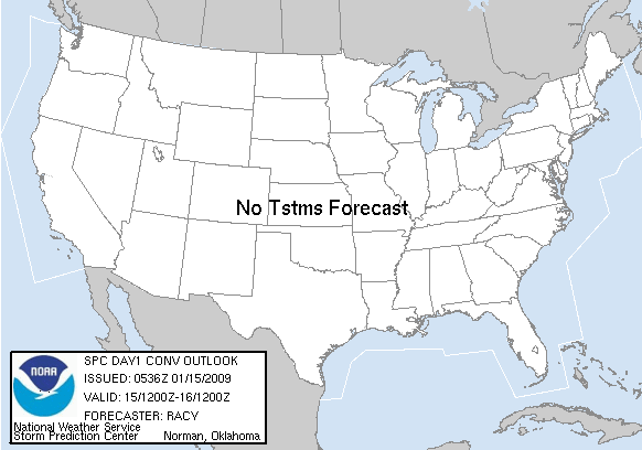
Jan 15, 2009 0600 UTC Day 1 Convective Outlook
Updated: Thu Jan 15 05:39:12 UTC 2009
Probabilistic to Categorical Outlook Conversion Table (Effective Feb 14, 2006).
Categorical Graphic
20090115 1200 UTC Day 1 Outlook Graphic
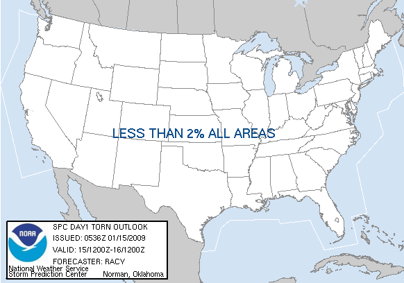
Probabilistic Tornado Graphic
20090115 1200 UTC Day 1 Tornado Probabilities Graphic
Torndao Legend Image
Probabilistic Damaging Wind Graphic
20090115 1200 UTC Day 1 Damaging Wind Probabilities Graphic
Wind Legend Image
Probabilistic Large Hail Graphic
20090115 1200 UTC Day 1 Large Hail Probabilities Graphic
Hail Legend Image
   SPC AC 150536
   
   DAY 1 CONVECTIVE OUTLOOK  
   NWS STORM PREDICTION CENTER NORMAN OK
   1136 PM CST WED JAN 14 2009
   
   VALID 151200Z - 161200Z
   
   ...NO TSTM AREAS FORECAST...
   
   ...SYNOPSIS/FCST...
   HIGH AMPLITUDE EPAC/W CST RIDGE AND CNTRL-ERN U.S. TROUGH WILL
   MAINTAIN CONDITIONS UNFAVORABLE FOR TSTMS THROUGH THE PD OVERLAND. 
   A FEW TSTMS WILL OCCUR GENERALLY POST-00Z/16 OVER THE OCEANIC AREAS
   EAST OF THE MID-ATLC/NEW ENGLAND REGIONS.
   
   ..RACY.. 01/15/2009
   
   CLICK TO GET WUUS01 PTSDY1 PRODUCT

   NOTE: THE NEXT DAY 1 OUTLOOK IS SCHEDULED BY 1300Z