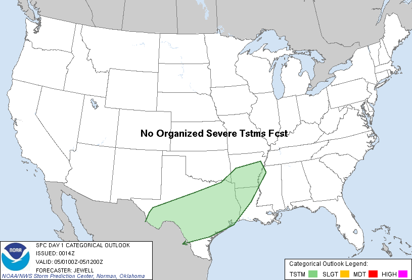
| Categorical Graphic |
|---|
|
| Probabilistic Tornado Graphic |
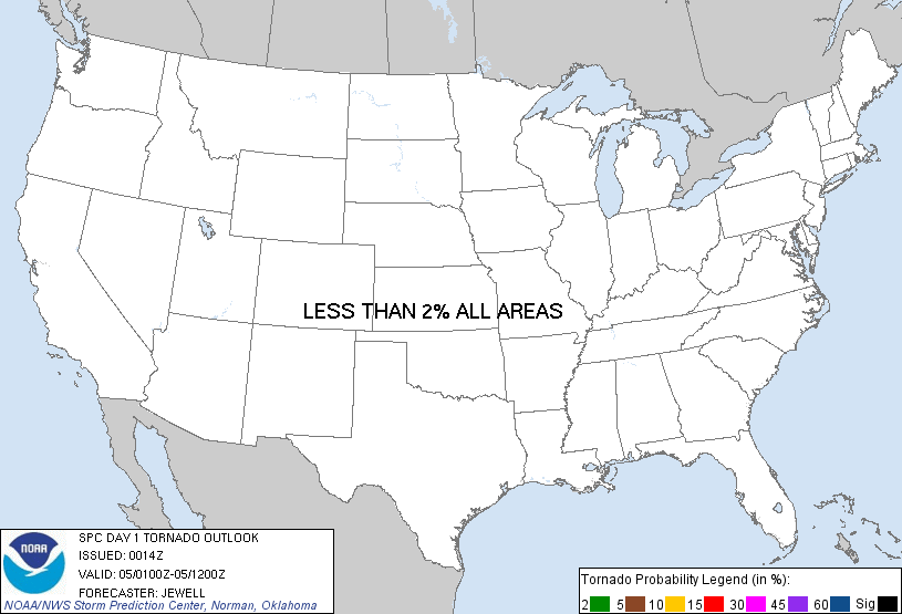 |
| Probability of a tornado within 25 miles of a point. Hatched Area: 10% or greater probability of EF2 - EF5 tornadoes within 25 miles of a point. |
| Probabilistic Damaging Wind Graphic |
 |
| Probability of damaging thunderstorm winds or wind gusts of 50 knots or higher within 25 miles of a point. Hatched Area: 10% of greater probability of wind gusts 65 knots or greater within 25 miles of a point. |
| Probabilistic Large Hail Graphic |
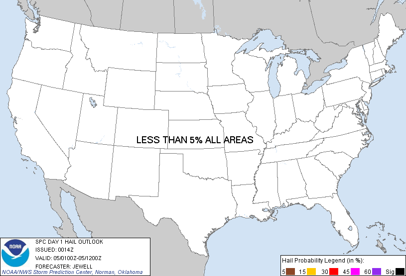 |
| Probability of hail 1" or larger within 25 miles of a point. Hatched Area: 10% or greater probability of hail 2" or larger within 25 miles of a point. |
   SPC AC 050014

   DAY 1 CONVECTIVE OUTLOOK
   NWS STORM PREDICTION CENTER NORMAN OK
   0614 PM CST SUN DEC 04 2011

   VALID 050100Z - 051200Z

   ...NO SVR TSTM AREAS FORECAST...

   ...SRN PLAINS...
   ISENTROPIC LIFT WILL STRENGTHEN THIS EVENING AND OVERNIGHT ACROSS TX
   AS A SHORTWAVE TROUGH...NOW OVER SW TX...EJECTS NEWD ACROSS THE
   REGION. SLY FLOW ATOP THE SURFACE STABLE LAYER WILL INCREASE LIFT
   AND MAINTAIN A MOISTURE FEED WITH ONLY WEAK INSTABILITY. RAIN AND
   THUNDERSTORMS WILL BECOME WIDESPREAD...BUT SEVERE WEATHER IS
   UNLIKELY. VERY SMALL HAIL MAY OCCUR WITH SOME OF THE STRONGER CELLS.

   ..JEWELL.. 12/05/2011

   CLICK TO GET WUUS01 PTSDY1 PRODUCT

   NOTE: THE NEXT DAY 1 OUTLOOK IS SCHEDULED BY 0600Z