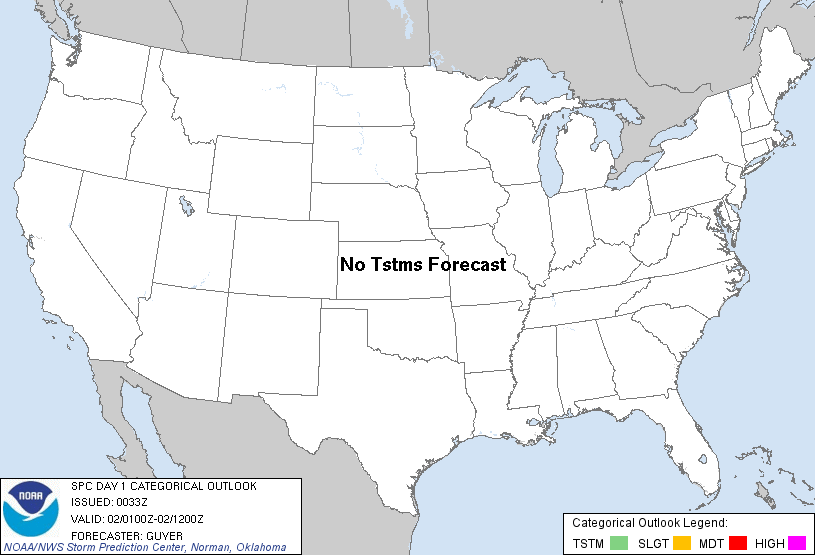
| Categorical Graphic |
|---|

|
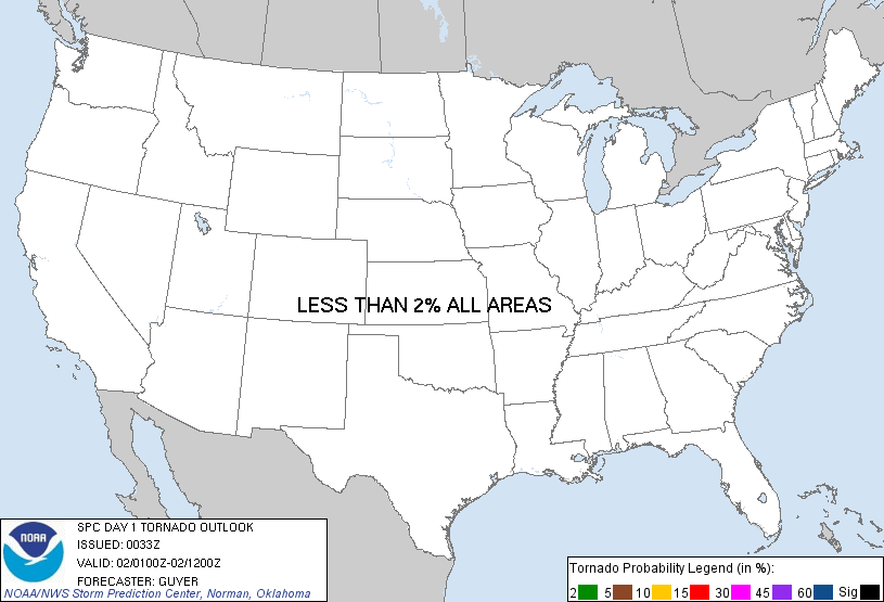
| Probabilistic Tornado Graphic |
 |
| Probability of a tornado within 25 miles of a point. Hatched Area: 10% or greater probability of EF2 - EF5 tornadoes within 25 miles of a point. |
| Probabilistic Damaging Wind Graphic |
 |
| Probability of damaging thunderstorm winds or wind gusts of 50 knots or higher within 25 miles of a point. Hatched Area: 10% of greater probability of wind gusts 65 knots or greater within 25 miles of a point. |
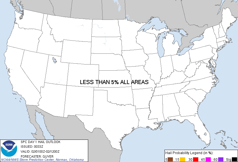
| Probabilistic Large Hail Graphic |
 |
| Probability of hail 1" or larger within 25 miles of a point. Hatched Area: 10% or greater probability of hail 2" or larger within 25 miles of a point. |
   SPC AC 020033

   DAY 1 CONVECTIVE OUTLOOK
   NWS STORM PREDICTION CENTER NORMAN OK
   0633 PM CST TUE JAN 01 2013

   VALID 020100Z - 021200Z

   ...NO TSTM AREAS FORECAST...

   ...GULF COAST REGION...
   CONVECTION WILL PERSIST TONIGHT ACROSS THE CENTRAL GULF COAST STATES
   NEAR AN EASTWARD-ADVANCING FRONT. HOWEVER...THE POST-FRONTAL NATURE
   OF THE CONVECTION AND WEAK LAPSE RATES/SCANT INSTABILITY NOTED IN
   00Z OBSERVED REGIONAL SOUNDINGS WILL KEEP ANY TSTM POTENTIAL VERY
   LOW /SUB-10 PERCENT/.

   OTHERWISE...NO TSTMS ARE EXPECTED ACROSS THE REMAINDER OF THE CONUS.

   ..GUYER.. 01/02/2013

   CLICK TO GET WUUS01 PTSDY1 PRODUCT

   NOTE: THE NEXT DAY 1 OUTLOOK IS SCHEDULED BY 0600Z