| Categorical Graphic | |||||||||
|---|---|---|---|---|---|---|---|---|---|
|
|||||||||
| Probabilistic Tornado Graphic | |||||||||
 |
|||||||||
| Probability of a tornado within 25 miles of a point. Hatched Area: 10% or greater probability of EF2 - EF5 tornadoes within 25 miles of a point. |
|||||||||
| Probabilistic Damaging Wind Graphic | |||||||||
 |
|||||||||
| Probability of damaging thunderstorm winds or wind gusts of 50 knots or higher within 25 miles of a point. Hatched Area: 10% of greater probability of wind gusts 65 knots or greater within 25 miles of a point. |
|||||||||
| Probabilistic Large Hail Graphic | |||||||||
 |
|||||||||
| Probability of hail 1" or larger within 25 miles of a point. Hatched Area: 10% or greater probability of hail 2" or larger within 25 miles of a point. |
|||||||||
| |||||||||
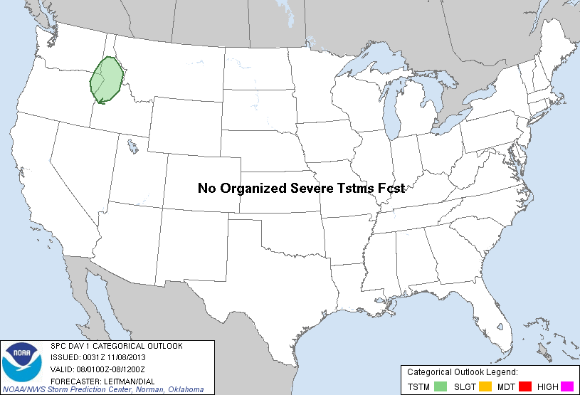
SPC AC 080031 DAY 1 CONVECTIVE OUTLOOK NWS STORM PREDICTION CENTER NORMAN OK 0631 PM CST THU NOV 07 2013 VALID 080100Z - 081200Z ...NO SVR TSTM AREAS FORECAST... ...NRN ROCKIES... SHOWERS WITH A FEW LIGHTNING STRIKES WILL STILL BE POSSIBLE INTO THE EVENING HOURS ACROSS PARTS OF CNTRL/NRN ID AND EXTREME SE WA/NE ORE AS A SHORTWAVE TROUGH APPROACHES AND EVENTUALLY MOVES ACROSS THE AREA OVERNIGHT. COVERAGE WILL REMAIN LIMITED DUE TO WEAK INSTABILITY AND MODEST MIDLEVEL LAPSE RATES. BUT COLD TEMPS ALOFT AND FORCING FOR ASCENT AHEAD OF THE SHORTWAVE SHOULD BE ADEQUATE FOR A FEW STRIKES. NO SEVERE WEATHER IS EXPECTED. ..LEITMAN/DIAL.. 11/08/2013 CLICK TO GET WUUS01 PTSDY1 PRODUCT NOTE: THE NEXT DAY 1 OUTLOOK IS SCHEDULED BY 0600Z |
|||||||||