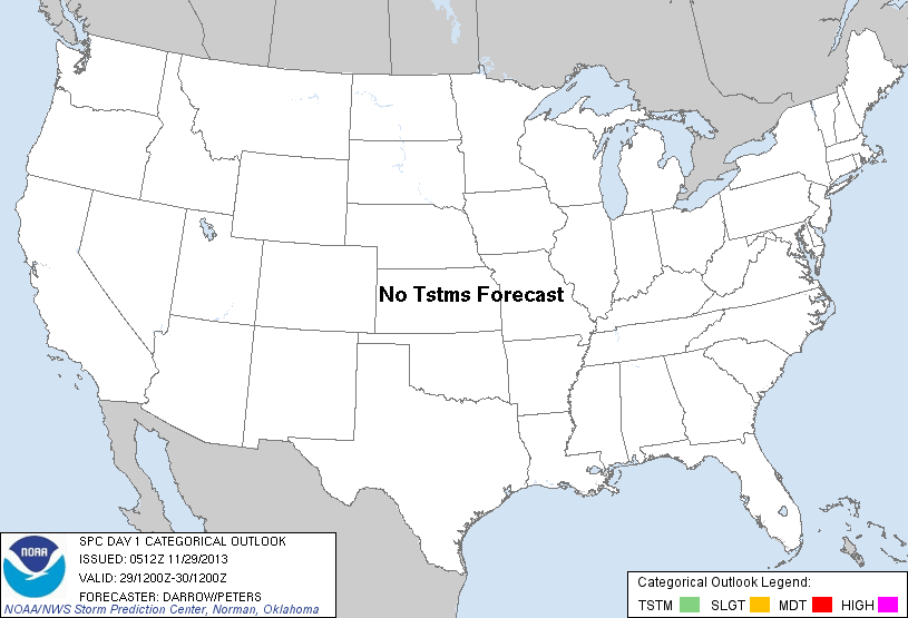
| Categorical Graphic | |||||||||
|---|---|---|---|---|---|---|---|---|---|
|
|||||||||
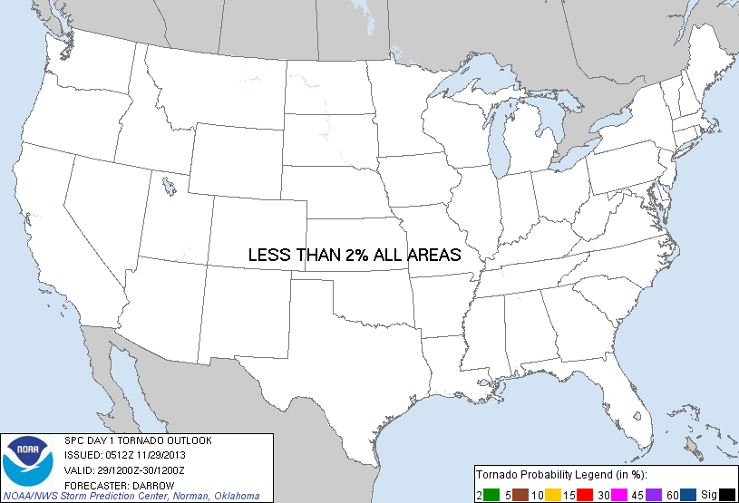
| Probabilistic Tornado Graphic | |||||||||
 |
|||||||||
| Probability of a tornado within 25 miles of a point. Hatched Area: 10% or greater probability of EF2 - EF5 tornadoes within 25 miles of a point. |
|||||||||
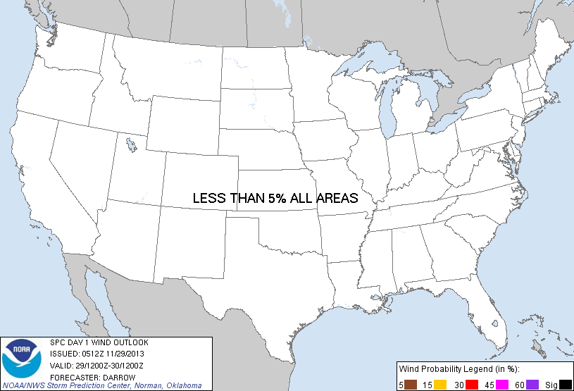
| Probabilistic Damaging Wind Graphic | |||||||||
 |
|||||||||
| Probability of damaging thunderstorm winds or wind gusts of 50 knots or higher within 25 miles of a point. Hatched Area: 10% of greater probability of wind gusts 65 knots or greater within 25 miles of a point. |
|||||||||
| Probabilistic Large Hail Graphic | |||||||||
 |
|||||||||
| Probability of hail 1" or larger within 25 miles of a point. Hatched Area: 10% or greater probability of hail 2" or larger within 25 miles of a point. |
|||||||||
| |||||||||
SPC AC 290512 DAY 1 CONVECTIVE OUTLOOK NWS STORM PREDICTION CENTER NORMAN OK 1112 PM CST THU NOV 28 2013 VALID 291200Z - 301200Z ...NO TSTM AREAS FORECAST... ..DARROW/PETERS.. 11/29/2013 CLICK TO GET WUUS01 PTSDY1 PRODUCT NOTE: THE NEXT DAY 1 OUTLOOK IS SCHEDULED BY 1300Z |
|||||||||