| Categorical Graphic | |||||||||
|---|---|---|---|---|---|---|---|---|---|
|
|||||||||
| Probabilistic Tornado Graphic | |||||||||
 |
|||||||||
| Probability of a tornado within 25 miles of a point. Hatched Area: 10% or greater probability of EF2 - EF5 tornadoes within 25 miles of a point. |
|||||||||
| Probabilistic Damaging Wind Graphic | |||||||||
 |
|||||||||
| Probability of damaging thunderstorm winds or wind gusts of 50 knots or higher within 25 miles of a point. Hatched Area: 10% of greater probability of wind gusts 65 knots or greater within 25 miles of a point. |
|||||||||
| Probabilistic Large Hail Graphic | |||||||||
 |
|||||||||
| Probability of hail 1" or larger within 25 miles of a point. Hatched Area: 10% or greater probability of hail 2" or larger within 25 miles of a point. |
|||||||||
| |||||||||
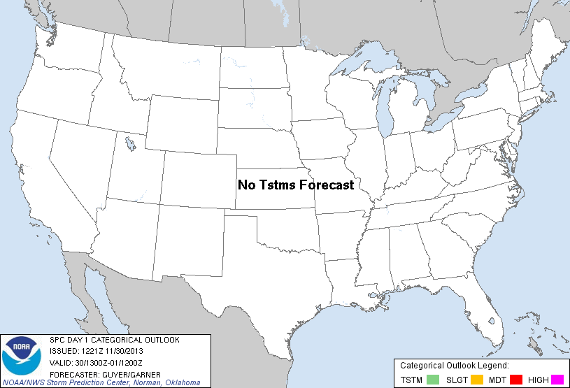
SPC AC 301221 DAY 1 CONVECTIVE OUTLOOK NWS STORM PREDICTION CENTER NORMAN OK 0621 AM CST SAT NOV 30 2013 VALID 301300Z - 011200Z ...NO TSTM AREAS FORECAST... ...SYNOPSIS/FORECAST... A QUASI-ZONAL LONGWAVE PATTERN WILL PREVAIL OVER THE CONUS THROUGH TONIGHT...WITH A DEGREE OF AMPLIFICATION OCCURRING OVER ONTARIO AND THE GREAT LAKES REGION VIA A SOUTHEASTWARD-DIGGING SHORTWAVE TROUGH. A NIL TSTM POTENTIAL IS EXPECTED ACROSS THE CONUS GIVEN THE WIDESPREAD PREVALENCE OF COLD/DRY CONTINENTAL TRAJECTORIES AND STABLE CONDITIONS. WHILE SOME SHOWERS MAY OCCUR NEAR EAST COASTAL PORTIONS OF FL/GA TODAY...BROAD SUBSIDENCE AND AN ASSOCIATED MID-LEVEL INVERSION WILL LIKELY KEEP ANY TSTM POTENTIAL WELL OFFSHORE IN THE ATLANTIC. ..GUYER/GARNER.. 11/30/2013 CLICK TO GET WUUS01 PTSDY1 PRODUCT NOTE: THE NEXT DAY 1 OUTLOOK IS SCHEDULED BY 1630Z |
|||||||||