| Categorical Graphic | |||||||||
|---|---|---|---|---|---|---|---|---|---|
|
|||||||||
| Probabilistic Tornado Graphic | |||||||||
 |
|||||||||
| Probability of a tornado within 25 miles of a point. Hatched Area: 10% or greater probability of EF2 - EF5 tornadoes within 25 miles of a point. |
|||||||||
| Probabilistic Damaging Wind Graphic | |||||||||
 |
|||||||||
| Probability of damaging thunderstorm winds or wind gusts of 50 knots or higher within 25 miles of a point. Hatched Area: 10% of greater probability of wind gusts 65 knots or greater within 25 miles of a point. |
|||||||||
| Probabilistic Large Hail Graphic | |||||||||
 |
|||||||||
| Probability of hail 1" or larger within 25 miles of a point. Hatched Area: 10% or greater probability of hail 2" or larger within 25 miles of a point. |
|||||||||
| |||||||||
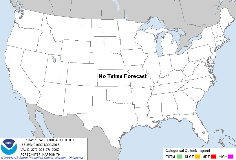
SPC AC 270100 DAY 1 CONVECTIVE OUTLOOK NWS STORM PREDICTION CENTER NORMAN OK 0700 PM CST THU DEC 26 2013 VALID 270100Z - 271200Z ...NO TSTM AREAS FORECAST... BROAD CYCLONIC FLOW ALOFT IS PRESENT THIS EVENING OVER THE EASTERN UNITED STATES...WITH AN UPPER RIDGE ACROSS THE WEST. SCATTERED SHOWERS WILL CONTINUE TO AFFECT PARTS OF SOUTH TX AND SOUTH FL...WHERE SUFFICIENT LOW/MID LEVEL MOISTURE AND MARGINAL INSTABILITY ARE PRESENT FOR SHALLOW CONVECTION. HOWEVER...LIMITED FORCING AND/OR DEEP CAPE WILL PRECLUDE ORGANIZED THUNDERSTORMS IN THESE AREAS OVERNIGHT. OTHERWISE...DRY/STABLE CONDITIONS WILL PREVAIL WITH NO THUNDERSTORMS FORECAST. ..HART/SMITH.. 12/27/2013 CLICK TO GET WUUS01 PTSDY1 PRODUCT NOTE: THE NEXT DAY 1 OUTLOOK IS SCHEDULED BY 0600Z |
|||||||||