| Categorical Graphic | |||||||||
|---|---|---|---|---|---|---|---|---|---|

|
|||||||||
| Probabilistic Tornado Graphic | |||||||||
 |
|||||||||
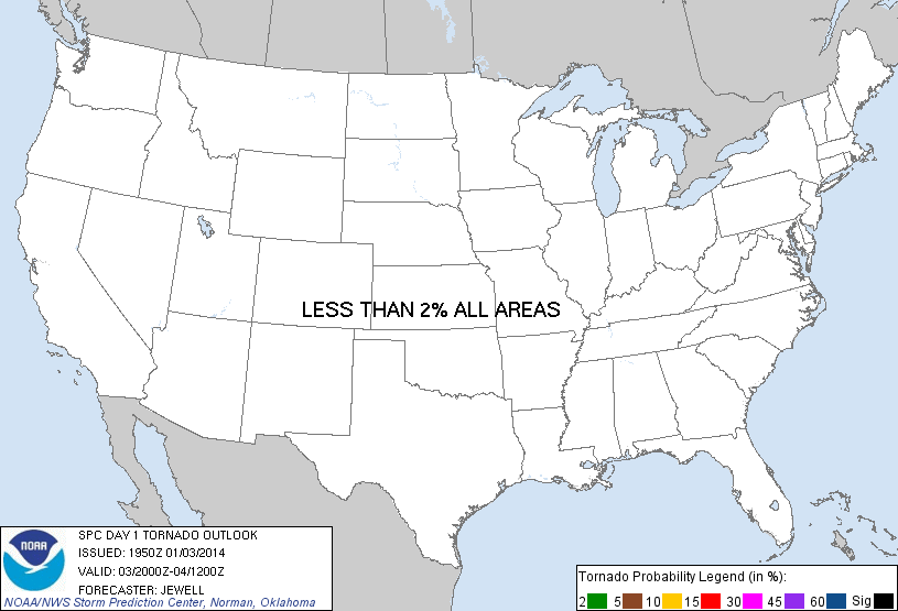
| Probability of a tornado within 25 miles of a point. Hatched Area: 10% or greater probability of EF2 - EF5 tornadoes within 25 miles of a point. |
|||||||||
| Probabilistic Damaging Wind Graphic | |||||||||
 |
|||||||||
| Probability of damaging thunderstorm winds or wind gusts of 50 knots or higher within 25 miles of a point. Hatched Area: 10% of greater probability of wind gusts 65 knots or greater within 25 miles of a point. |
|||||||||
| Probabilistic Large Hail Graphic | |||||||||
 |
|||||||||
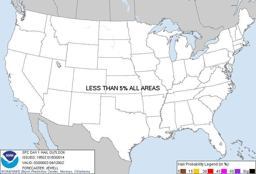
| Probability of hail 1" or larger within 25 miles of a point. Hatched Area: 10% or greater probability of hail 2" or larger within 25 miles of a point. |
|||||||||
| |||||||||
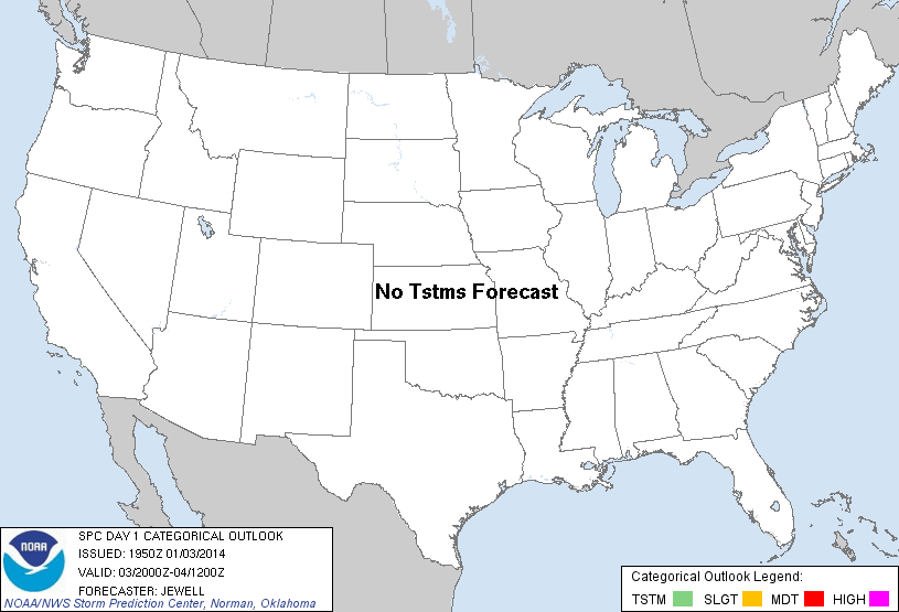
SPC AC 031950 DAY 1 CONVECTIVE OUTLOOK NWS STORM PREDICTION CENTER NORMAN OK 0150 PM CST FRI JAN 03 2014 VALID 032000Z - 041200Z ...NO TSTM AREAS FORECAST... CONTINUE NO THUNDER OUTLOOK. ..JEWELL.. 01/03/2014 .PREV DISCUSSION... /ISSUED 1011 AM CST FRI JAN 03 2014/ SURFACE HIGH PRESSURE...CENTERED OVER THE MID MS VALLEY THIS MORNING...IS EXPECTED TO PUSH EWD AS A SHORTWAVE TROUGH /AND ASSOCIATED FRONTAL ZONE/ MOVES SEWD INTO THE NRN PLAINS FROM SRN AB/SK. A VERY DRY /PW VALUES FROM 0.08 INCH TO 0.16 INCH ACROSS THE SOUTHEAST/ AND STABLE CP AIRMASS EXISTS BENEATH THIS HIGH ACROSS THE ERN CONUS. COOL AND STABLE CONDITIONS EXIST ACROSS THE CNTRL AND WRN CONUS AS WELL WITH NO TSTM ACTIVITY EXPECTED ANYWHERE ACROSS THE CONUS TODAY. CLICK TO GET WUUS01 PTSDY1 PRODUCT NOTE: THE NEXT DAY 1 OUTLOOK IS SCHEDULED BY 0100Z |
|||||||||