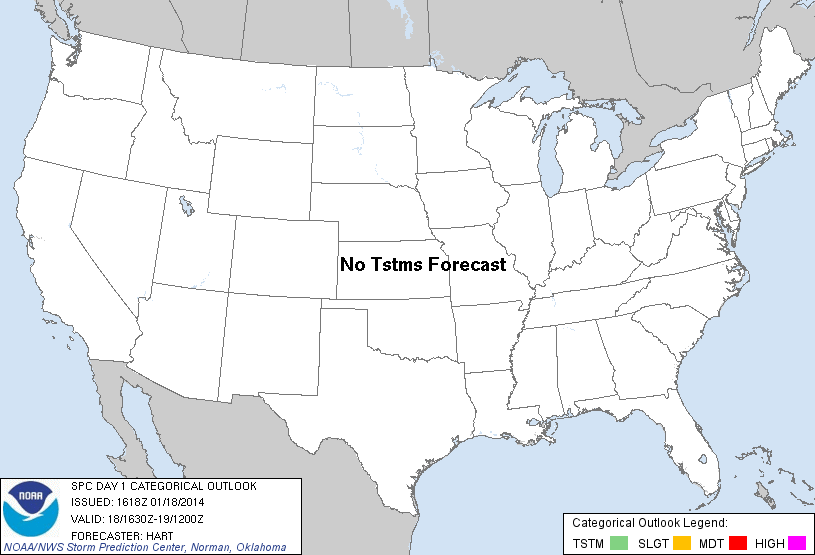
| Categorical Graphic | |||||||||
|---|---|---|---|---|---|---|---|---|---|
|
|||||||||
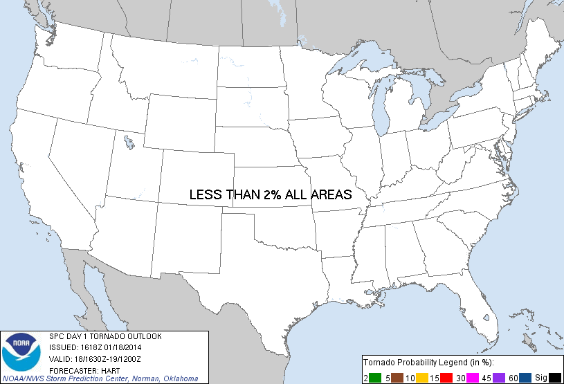
| Probabilistic Tornado Graphic | |||||||||
 |
|||||||||
| Probability of a tornado within 25 miles of a point. Hatched Area: 10% or greater probability of EF2 - EF5 tornadoes within 25 miles of a point. |
|||||||||
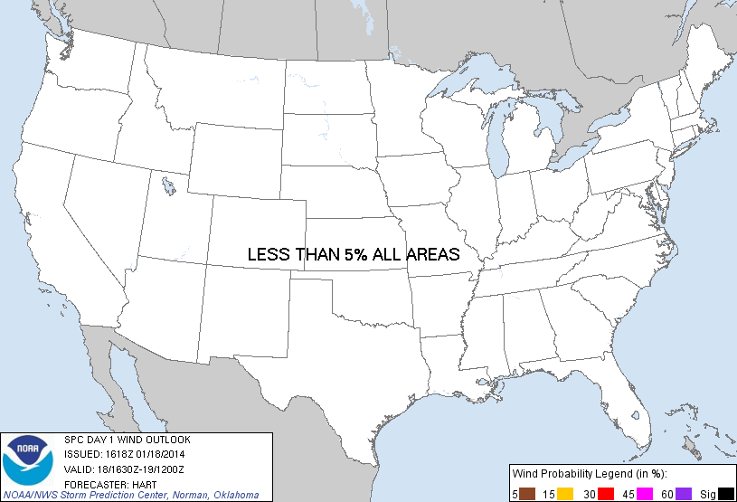
| Probabilistic Damaging Wind Graphic | |||||||||
 |
|||||||||
| Probability of damaging thunderstorm winds or wind gusts of 50 knots or higher within 25 miles of a point. Hatched Area: 10% of greater probability of wind gusts 65 knots or greater within 25 miles of a point. |
|||||||||
| Probabilistic Large Hail Graphic | |||||||||
 |
|||||||||
| Probability of hail 1" or larger within 25 miles of a point. Hatched Area: 10% or greater probability of hail 2" or larger within 25 miles of a point. |
|||||||||
| |||||||||
SPC AC 181618 DAY 1 CONVECTIVE OUTLOOK NWS STORM PREDICTION CENTER NORMAN OK 1018 AM CST SAT JAN 18 2014 VALID 181630Z - 191200Z ...NO TSTM AREAS FORECAST... A COLD UPPER TROUGH IS IN PLACE ACROSS THE EASTERN UNITED STATES...WITH DRY/STABLE CONDITIONS PRECLUDING ORGANIZED THUNDERSTORMS OVER THE CONUS TODAY. ...SOUTHERN NEW ENGLAND... ISOLATED LIGHTNING STRIKES CANNOT BE RULED OUT THIS AFTERNOON AHEAD OF A POTENT SHORTWAVE TROUGH MOVING ACROSS SOUTHERN NEW ENGLAND. SHOWERS WITH AN OCCASIONAL LIGHTNING STRIKE HAVE OCCURRED IN THE PAST FEW HOURS NEAR NYC AND NEAR BOS. WHILE THIS TYPE OF ACTIVITY MAY CONTINUE THROUGH THE AFTERNOON...COVERAGE OF THUNDERSTORMS DOES NOT APPEAR TO WARRANT A 10 PERCENT RISK AREA. ..HART.. 01/18/2014 CLICK TO GET WUUS01 PTSDY1 PRODUCT NOTE: THE NEXT DAY 1 OUTLOOK IS SCHEDULED BY 2000Z |
|||||||||